Search Saving Planets

Saving Planets Solutions

Earth Observation (Top)

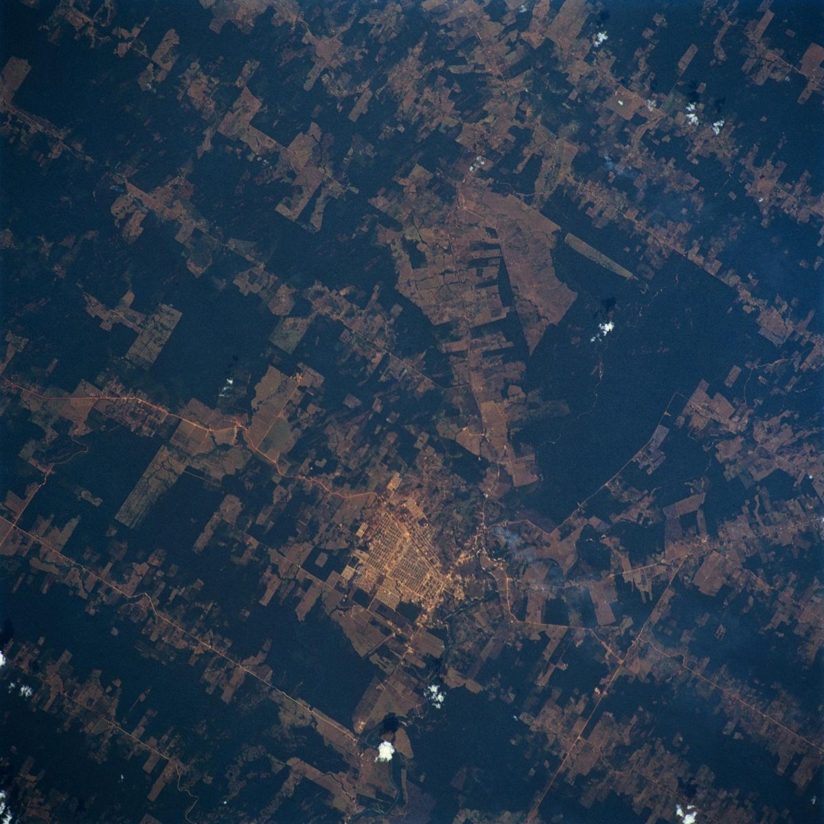
ALOS-4 "DAICHI-4" (JAXA) image

Image: NASA.

ALOS-4 "DAICHI-4" (JAXA)

JAXA's DAICHI-4 radar sees through clouds over a 200 km swath, continuing the radar record used for deforestation alerts. A radar satellite with the PALSAR-3 L-band synthetic aperture radar and a ship-tracking receiver.

Read the 5 W's

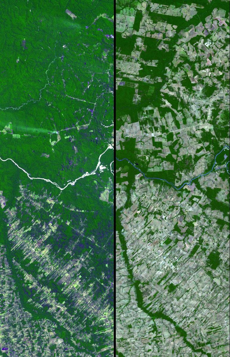
Biomass (ESA) image

Image: NASA.

Biomass (ESA)

ESA's Biomass satellite launched on April 29, 2025 on Vega-C. ESA (European Space Agency). The first P-band synthetic aperture radar in space. The first P-band synthetic aperture radarA tool that sends out radio waves and listens for the echoes. From space it can see the ground through clouds, day or night.

Read the 5 W's

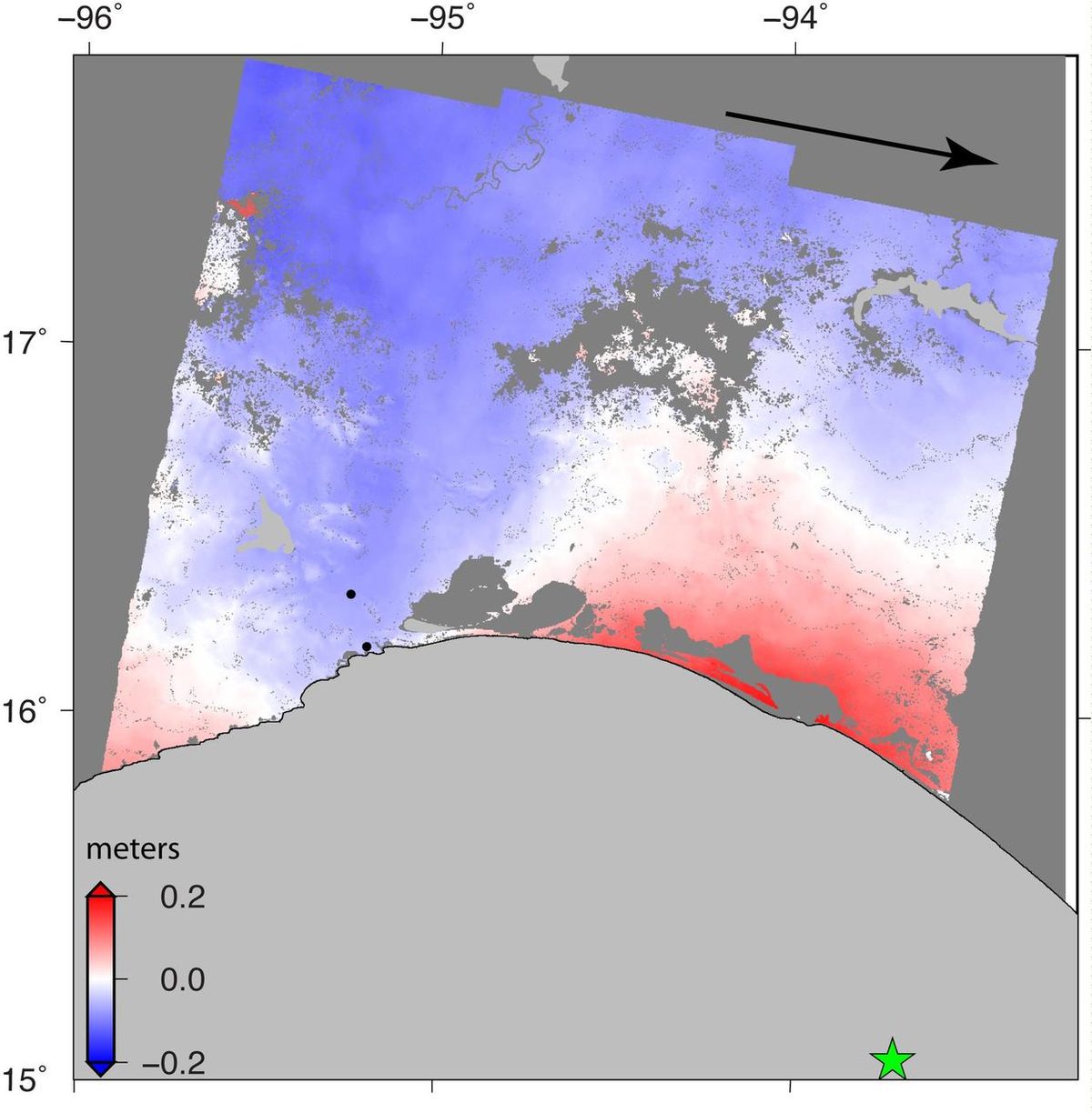
Copernicus Sentinel-1 (ESA) image

Image: NASA/JPL-Caltech (contains Copernicus Sentinel-1 data, ESA).

Copernicus Sentinel-1 (ESA)

Sentinel-1 radar sees through clouds, day and night, to map floods, earthquakes and ice; Sentinel-1C and 1D joined in 2024 and 2025. Radar satellites imaging Earth through cloud and darkness.

Read the 5 W's

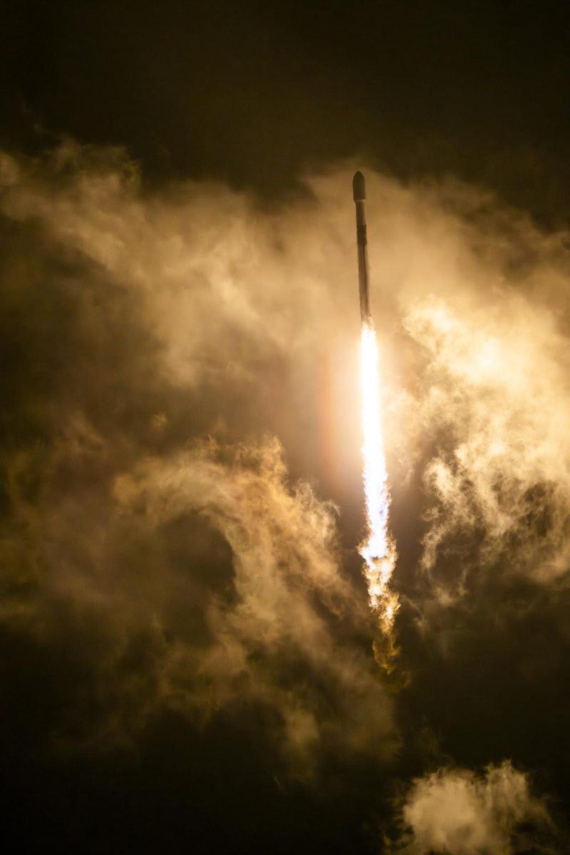
Copernicus Sentinel-2C (ESA) image

Image: NASA.

Copernicus Sentinel-2C (ESA)

Sentinel-2C joined the Copernicus fleet in September 2024, imaging land and coasts in 13 bands so forests and crops are checked every five days. A satellite with a multispectral imager covering 13 spectral bands, with a 290 km swath and detail down to 10 m.

Read the 5 W's

Copernicus Sentinel-6B (ESA / NASA) image

Image: NASA.

Copernicus Sentinel-6B (ESA / NASA)

Sentinel-6B, launched November 17, 2025, continues the precise record of global sea level that began in the early 1990s. A radar altimetry satellite that measures the height of the sea surface.

Read the 5 W's

DSCOVR / EPIC (NASA–NOAA) image

Image: NASA/NOAA DSCOVR EPIC.

DSCOVR / EPIC (NASA–NOAA)

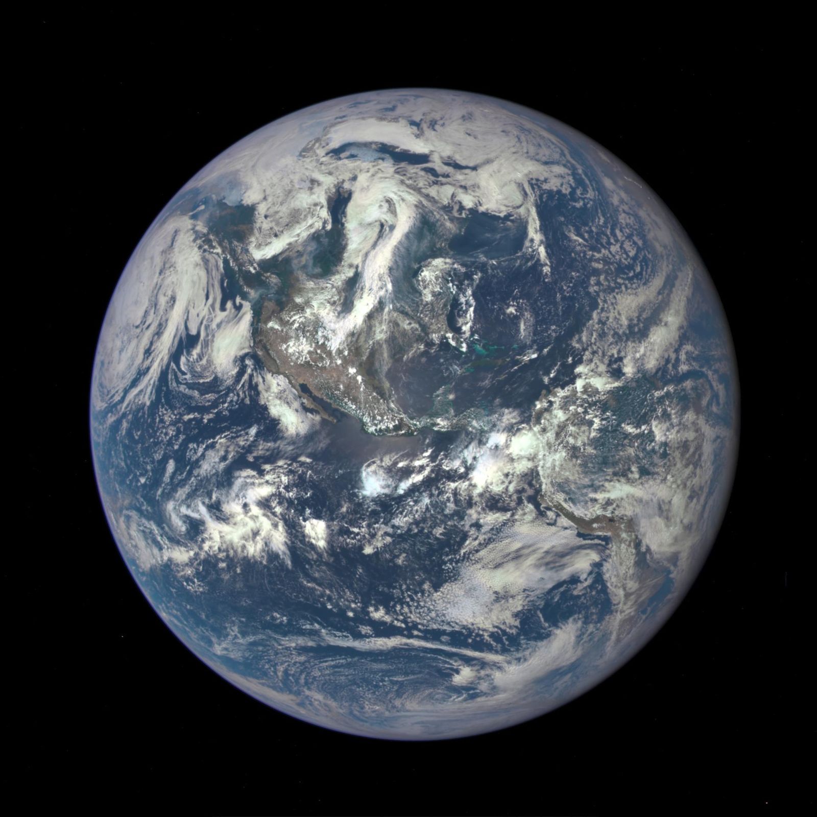
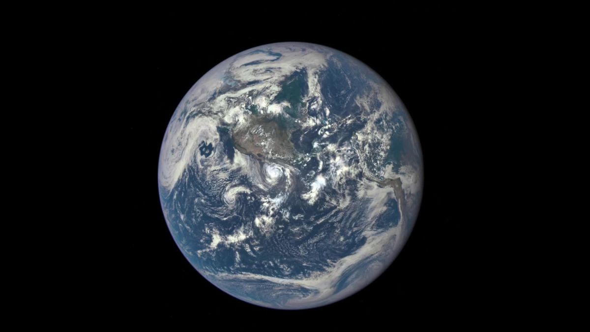
NASA's EPIC camera rides on NOAA's DSCOVR spacecraft at the L1 point, photographing the entire sunlit face of Earth several times a day, with an archive... A camera photographing the entire sunlit face of Earth several times a day.

Read the 5 W's

EarthCARE (ESA–JAXA) image

Image: NASA.

EarthCARE (ESA–JAXA)

ESA–JAXA EarthCARE carries the first space cloud radar that can measure how cloud particles move up and down. A satellite with four instruments, including JAXA's Doppler Cloud Profiling Radar.

Read the 5 W's

EOS-06 / Oceansat-3 (ISRO) image

Image: NASA/JPL-Caltech/ISRO.

EOS-06 / Oceansat-3 (ISRO)

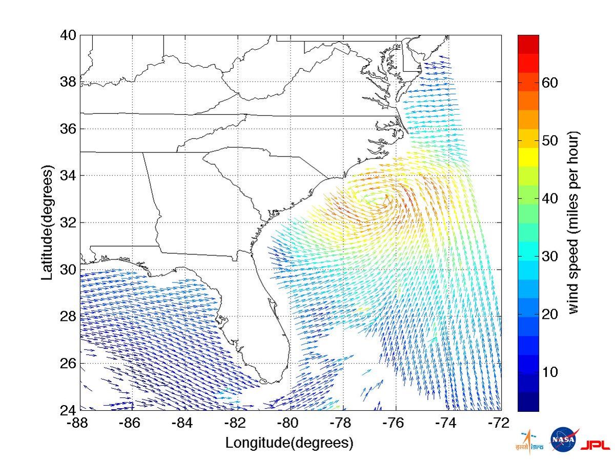
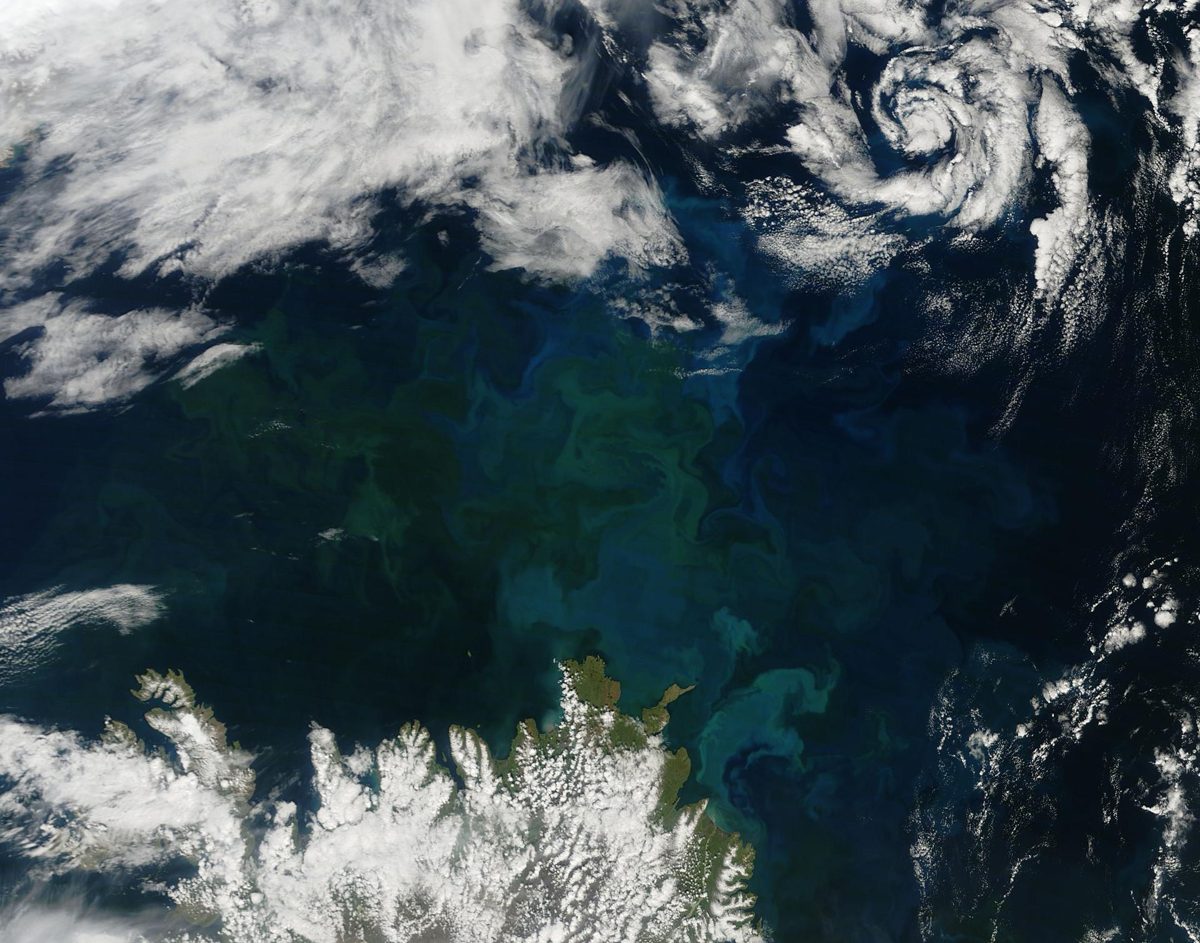
India's EOS-06, the third Oceansat, tracks ocean color, sea-surface temperature and winds; it imaged Cyclone Mandous and an algal bloom on day one. An ocean satellite with color, temperature and wind sensors.

Read the 5 W's

FLEX and Sentinel-3C (ESA) image

Image: NASA/JPL-Caltech.

FLEX and Sentinel-3C (ESA)

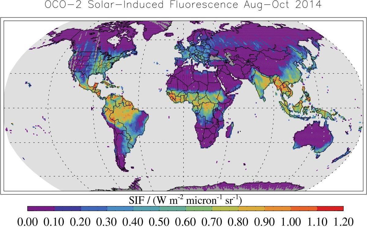
Launched together on September 15, 2026, ESA's FLEX maps the faint glow of photosynthesis while Sentinel-3C watches oceans and land. FLEX maps plant fluorescence; Sentinel-3C measures ocean and land.

Read the 5 W's

GOSAT-GW "IBUKI GW" (JAXA) image

Image: NASA/JPL-Caltech.

GOSAT-GW "IBUKI GW" (JAXA)

JAXA's IBUKI GW tracks carbon dioxide, methane and nitrogen dioxide while also measuring the water cycle. A satellite carrying TANSO-3 for greenhouse gases and AMSR3 for the water cycle.

Read the 5 W's

GRACE-FO (NASA / Germany) image

Image: NASA/JPL-Caltech.

GRACE-FO (NASA / Germany)

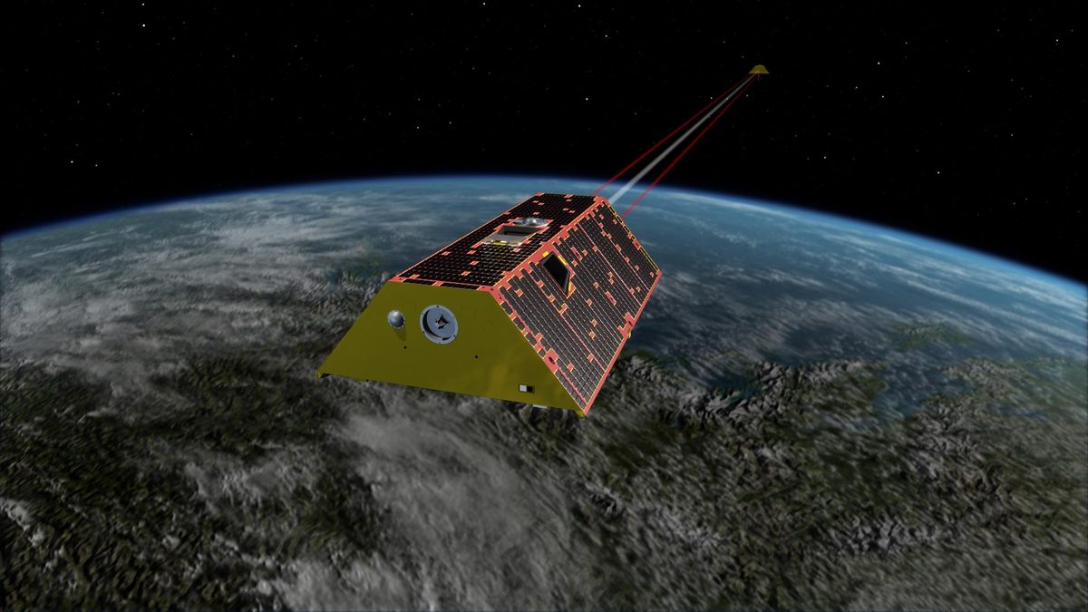
Twin US-German satellites weigh Earth's water by measuring gravity, tracking groundwater, ice and sea level since 2018. Active. Twin satellites measuring Earth's changing gravity field.

Read the 5 W's

ICESat-2 (NASA) image

Image: NASA/Bill Ingalls.

ICESat-2 (NASA)

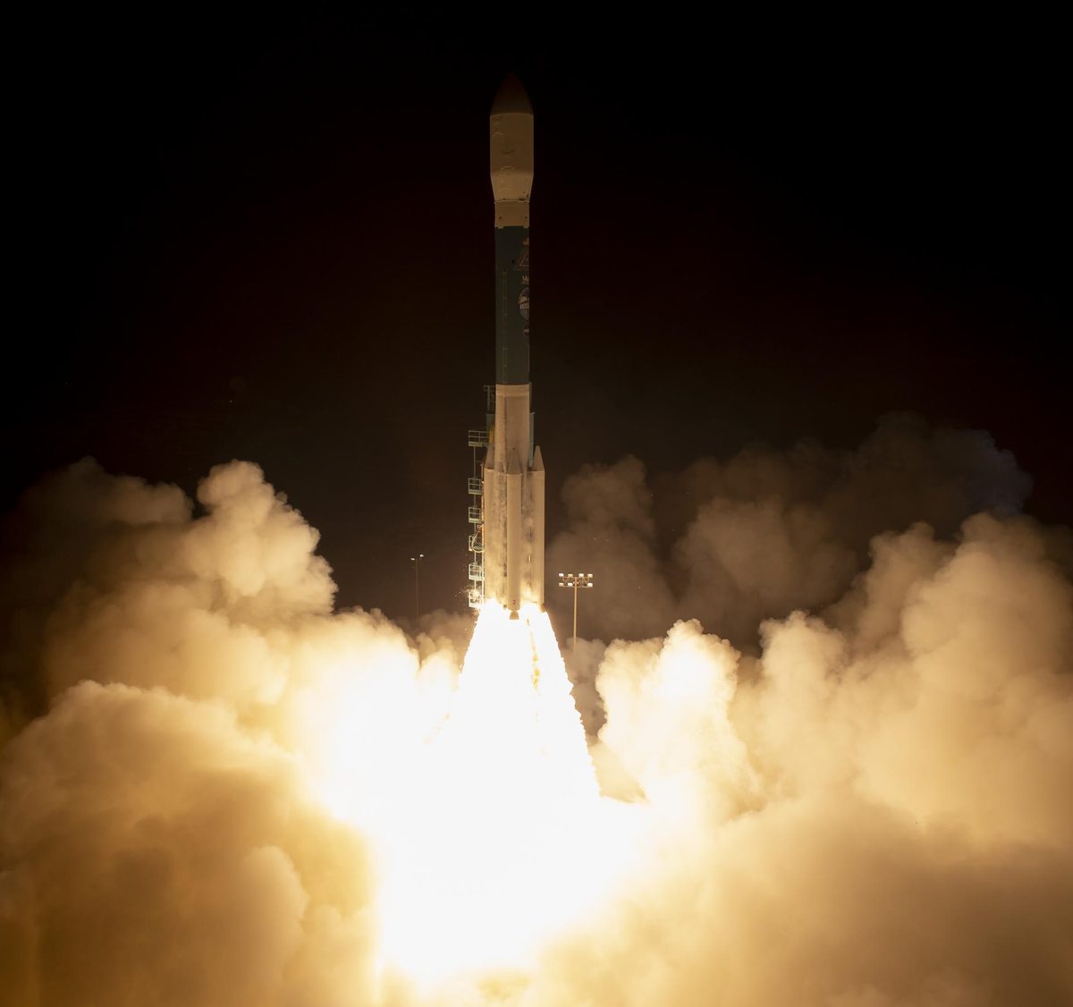
NASA's ICESat-2 laser fires 10,000 pulses a second to measure ice sheets, sea ice, forests and coastal seafloor in 3D. Active. A satellite laser altimeter measuring surface height in 3D.

Read the 5 W's

Landsat 9 (NASA / USGS) image

Image: NASA (KSC-20210927-PH-KLS02_0069).

Landsat 9 (NASA / USGS)

Landsat 9 continues a 50-year record of Earth’s land, collecting 740 scenes a day and, with Landsat 8, seeing each place every 8 days. The latest Landsat satellite, collecting 740 scenes of Earth each day, almost double its minimum requirement.

Read the 5 W's

MetOp-SG-A1 and Sentinel-5A (ESA / EUMETSAT) image

Image: NASA.

MetOp-SG-A1 and Sentinel-5A (ESA / EUMETSAT)

Launched August 2025 on Ariane 6, MetOp-SG-A1 carries Sentinel-5, which delivers daily global data on air pollutants, ozone and climate gases. The first MetOp Second Generation weather satellite, carrying the Copernicus Sentinel-5 air-quality instrument.

Read the 5 W's

NISAR (NASA–ISRO) image

Image: NASA/JPL-Caltech.

NISAR (NASA–ISRO)

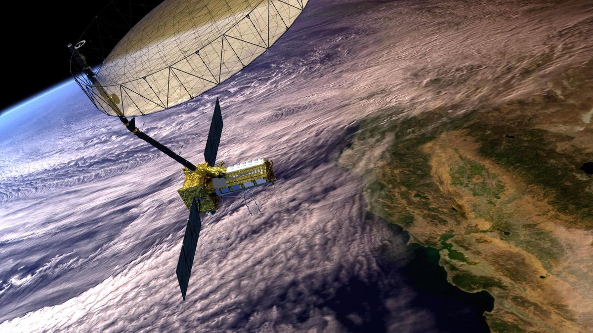
NISAR launched from India on July 30, 2025. NASA and ISRO (Indian Space Research Organisation). A radar satellite carrying NASA's L-band and ISRO's S-band radars.

Read the 5 W's

PACE (NASA) image

Image: NASA/KSC.

PACE (NASA)

NASA's PACE reads the color of the ocean to track phytoplankton, the base of the marine food web, plus aerosols and clouds. A satellite whose hyperspectral Ocean Color Instrument measures light from ultraviolet to near-infrared.

Read the 5 W's

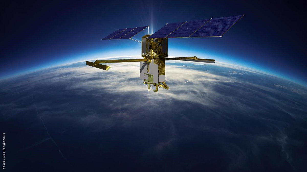
SWOT (NASA–CNES) image

Image: NASA/JPL-Caltech.

SWOT (NASA–CNES)

SWOT measures more than 95% of Earth's lakes larger than 15 acres and rivers wider than 330 feet, the first global survey of fresh water. A radar interferometer satellite that measures the height of water on land and at sea.

Read the 5 W's

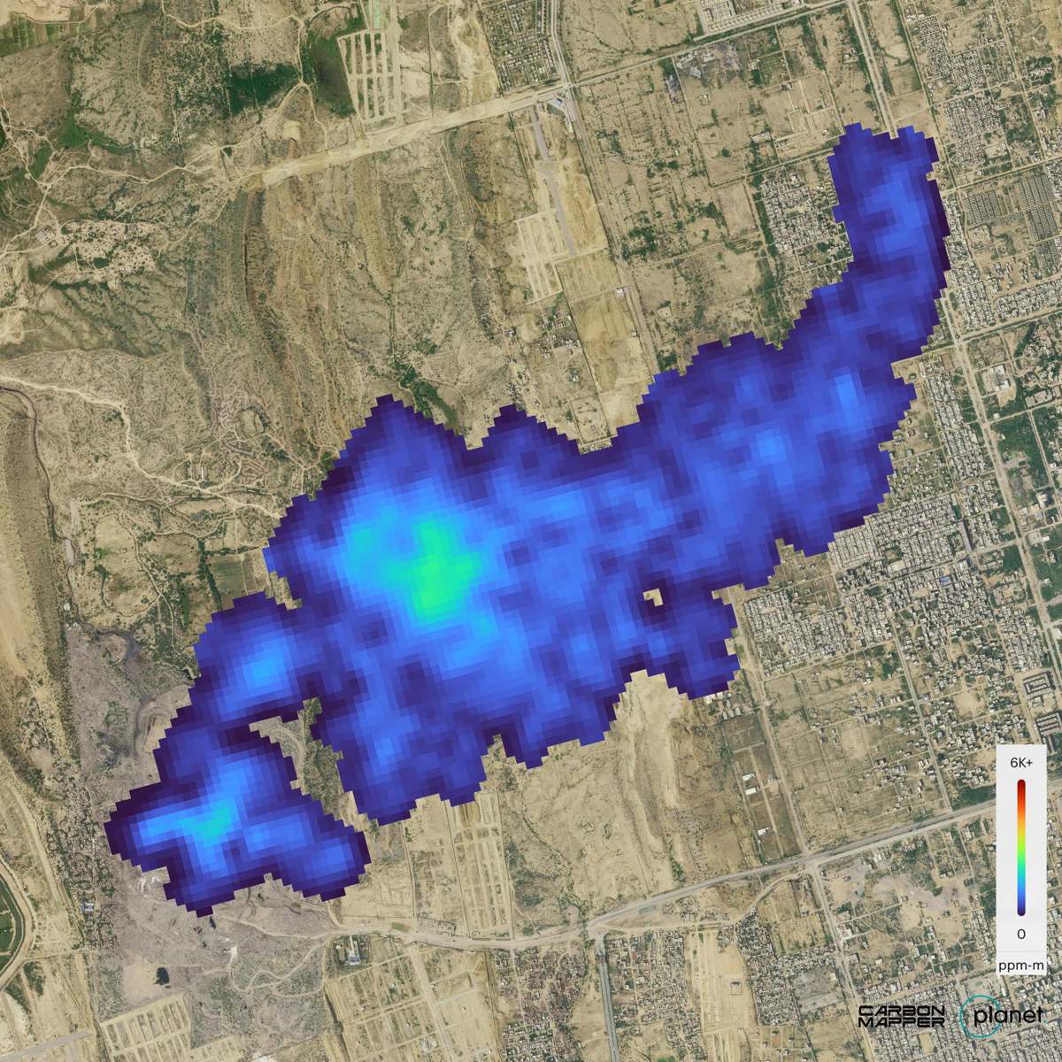
Tanager-1 (Carbon Mapper / Planet) image

Image: NASA/JPL-Caltech (Carbon Mapper data).

Tanager-1 (Carbon Mapper / Planet)

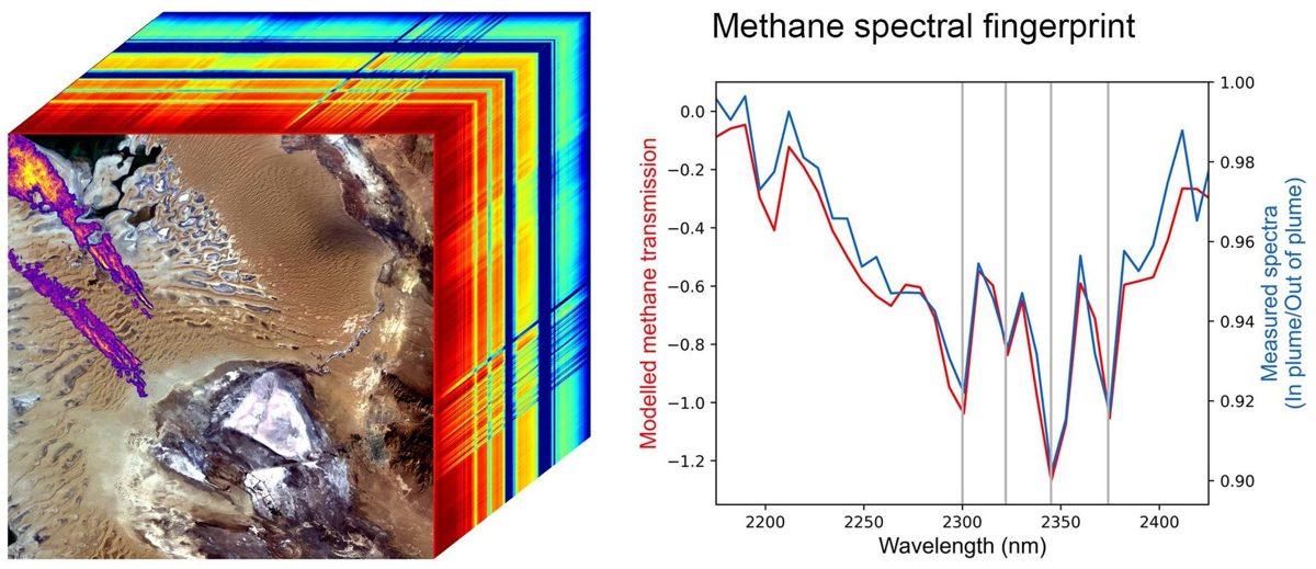
Tanager-1 was built by Planet with a NASA JPL-designed imaging spectrometer for the nonprofit Carbon Mapper coalition. A satellite that pinpoints methane and carbon dioxide plumes from individual sources.

Read the 5 W's

Hub Summary

Satellites that map moving ground, forest carbon, methane leaks and the whole sunlit Earth.

You can't protect what you can't measure, and much of this data is free for anyone to use.

Impact: You can't protect what you can't measure. These satellites map moving ground, forest carbon, methane leaks and the ozone over the whole planet, and much of their data is free for anyone to use.

Forests (Top)

Life Terra tree planting

Photo: SI Partner.

Life Terra

Community-based tree planting paired with an app and monitoring technology that registers every tree and tracks its growth. They run large professional plantings, local volunteer events, school climate education, and corporate tree-adoption programs.

Read the 5 W's

Mangrove Forests image

Image: NASA.

Mangrove Forests

About 80 species of mangrove trees guard tropical coastlines, holding mud in place and softening storm surges. Salt-tolerant coastal forests that grow in low-oxygen, waterlogged soil.

Read the 5 W's

Saharan Dust Feeds the Amazon image

Image: NASA's Goddard Space Flight Center.

Saharan Dust Feeds the Amazon

Every year about 27.7 million tons of Saharan dust falls on the Amazon, delivering some 22,000 tons of phosphorus that the rainforest needs (NASA). Wind carries phosphorus-rich dust from the Sahara across the Atlantic to fertilize the Amazon.

Read the 5 W's

Terraformation native forest

Photo: SI Partner.

Terraformation

Terraformation restores native, biodiverse forests from seed to canopy across the tropics and Hawaii. Restoring degraded land into native, biodiverse forests that capture carbon and support communities. Projects use up to five times more native species than typical carbon-offset plantings, tracked with open-source software from nursery to canopy.

Read the 5 W's

The Amazon Makes Its Own Rainy Season image

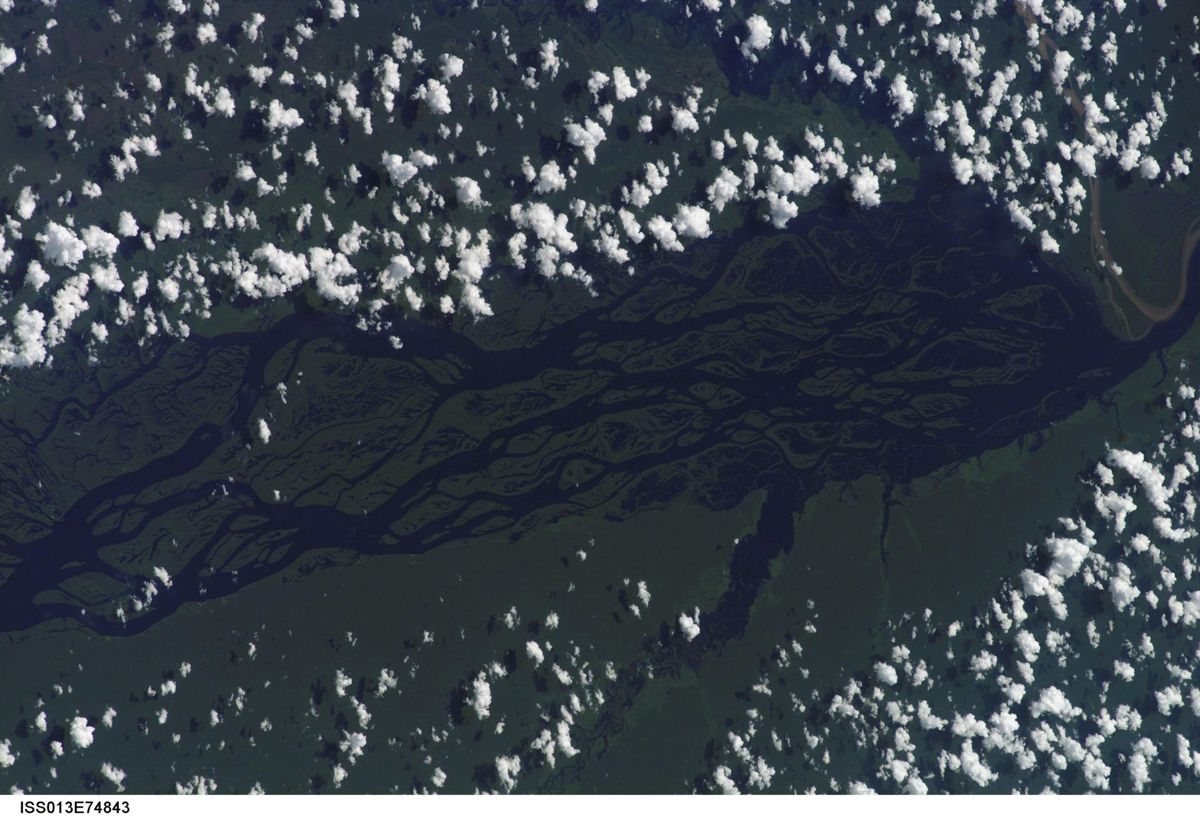
Image: NASA (ISS013-E-74843).

The Amazon Makes Its Own Rainy Season

Water breathed out by Amazon trees starts the rainy season two to three months before winds alone would bring it (NASA JPL). Transpiration: trees pull water from the ground and release vapor that builds rain clouds.

Read the 5 W's

Three trees for every one removed

Photo: SI Partner.

Three Trees for Every One Removed

For every tree removed, three go back in — rebuilding habitat, soil, and shade. A forest solution on Saving Planets. For every tree that comes out, three go in. That replaces what was lost and starts to rebuild habitat, soil, and shade.

Read the 5 W's

Trees for the Future image

Image: NASA (STS072-722-004).

Trees for the Future

Partnering with East African farmers on regenerative farms: 450M+ trees grown and 99,000 acres restored (nonprofit figures). Regenerative farming with diverse trees and plants to restore soil, biodiversity and harvests.

Read the 5 W's

Hub Summary

Planting and tracking trees, and restoring native forests.

Forests hold soil, shade land and give habitat. Replanting more than is lost rebuilds them.

Impact: Forests come back when people plant and protect them. Life Terra reports more than 36 million trees planted with partners.

Lakes (Top)

Clean Up the Lake image

Clean Up the Lake

Clean Up the Lake removes submerged litter from freshwater lakes using scuba divers and community volunteers. Underwater and shoreline cleanups of freshwater lakes, with every piece of litter GPS-pinned, categorized, and weighed. They also run aquatic invasive species monitoring and youth education programs.

Read the 5 W's

Great Lakes Plastic Cleanup image

Great Lakes Plastic Cleanup

The Great Lakes Plastic Cleanup captures plastic across the world's largest freshwater system using Seabins, drones, and beach robots. Deploying proven capture technology — Seabins, PixieDrones, BeBots, and stormwater LittaTraps — to remove plastic from marinas, shorelines, and drains before it reaches open water, plus community science to characterize what is found.

Read the 5 W's

Lake Plastic Recovery image

Lake Plastic Recovery

Lake Plastic Recovery: pulling plastic out of lakes before it moves downstream. A freshwater solution on Saving Planets. Pulling plastic and litter out of lakes — surface skimming, shoreline collection, and diver-assisted recovery — so it never reaches rivers and oceans.

Read the 5 W's

Restoring the Lake Depths Foundation image

SI-generated image by Saving Planets.

Restoring the Lake Depths Foundation

A Nevada nonprofit using ROVs and volunteer divers to remove submerged debris from Lake Tahoe's depths. A fleet of four ROVs — including the flagship Deep Emerald with a 600-meter fiber optic tether — plus volunteer scuba and free divers, removing submerged debris from Lake Tahoe's depths. They also provide high-resolution underwater surveying photography and videography.

Read the 5 W's

Hub Summary

Removing submerged and floating litter from freshwater lakes with divers, ROVs, Seabins and drones.

Litter that stays in a lake can break down there or travel downstream into rivers and the ocean. Recovering it at the lake stops both.

Impact: Lakes catch litter before it moves downstream. Clean Up The Lake has logged 36,177 pounds (about 16,400 kg) of litter removed since 2018.

Ocean (Top)

4ocean image

SI-generated image by Saving Planets.

4ocean

4ocean removes plastic from oceans, rivers, and coastlines with full-time cleanup crews, funded by products made from recovered plastic. Full-time professional captains and cleanup crews recover plastic and trash from oceans, rivers, and coastlines every day. The model: each bracelet or product sold funds the removal of one pound of trash, and recovered material is sorted, shredded, and turned into recycled products.

Read the 5 W's

Billion Oyster Project image

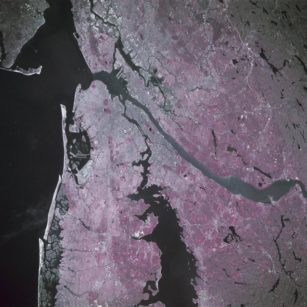
Image: NASA (STS039-88-054).

Billion Oyster Project

A New York nonprofit restoring the harbor with oyster reefs, aiming for one billion oysters by 2030 (nonprofit figures). Oyster reef restoration, shell recycling and harbor education.

Read the 5 W's

Coral Restoration Foundation image

Image: NASA/JPL.

Coral Restoration Foundation

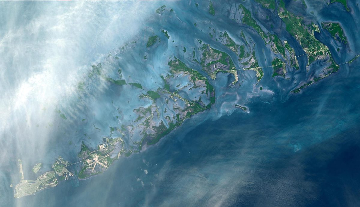
Coral Restoration Foundation had returned 253,833 corals to Florida's reefs by the end of 2024 (organization figure). Offshore coral nurseries and large-scale outplanting of nursery-grown corals.

Read the 5 W's

Healthy Seas image

Image: NASA (iss071e207494).

Healthy Seas

Volunteer divers recover ghost nets: Healthy Seas reports 1,309.1 tons of nets and marine litter removed since 2013 (Healthy Seas figure). Cleanups that remove ghost nets and other marine litter, plus recycling of suitable nets into ECONYL® yarn with Aquafil.

Read the 5 W's

Kelp Forests image
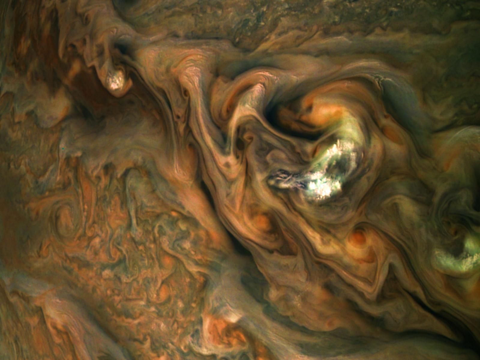
Image: NASA (ISS018-E-018110).

Kelp Forests
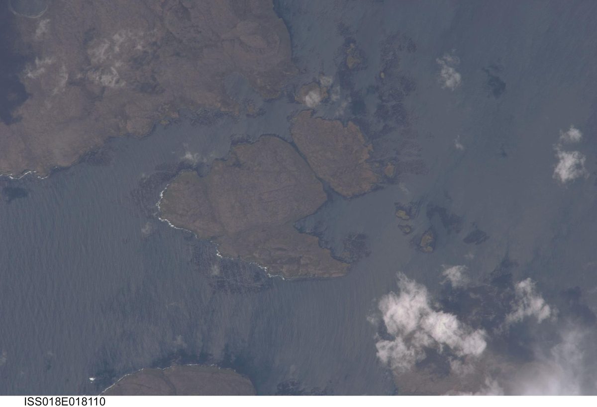
Kelp can grow up to 18 inches a day, building underwater forests that feed and shelter thousands of species. Underwater forests of giant algae.
Read the 5 W's

Mote Marine Laboratory image

Image: NASA/JPL.

Mote Marine Laboratory

Mote scientists have restored more than 216,000 corals to Florida's Coral Reef, and their restored corals now spawn (Mote figure). Coral reef restoration: growing corals and replanting them on the reef.

Read the 5 W's

Ocean Voyages Institute image

Image: NASA (iss073e0257194).

Ocean Voyages Institute

A sailing nonprofit that has pulled more than 850,000 pounds of plastic from the Pacific Gyre in 10 voyages (nonprofit figure). Mid-ocean cleanup voyages that recover plastic, from household trash to abandoned fishing nets, then upcycle, recycle and repurpose it.

Read the 5 W's

Phytoplankton, the Ocean's Oxygen Engine image

Image: NASA.

Phytoplankton, the Ocean's Oxygen Engine

Tiny ocean plants produce about half of Earth's oxygen, making phytoplankton one of the planet's most important natural systems. A natural system that turns sunlight and carbon dioxide into food and oxygen.

Read the 5 W's

Plastic Bank image

SI-generated image by Saving Planets.

Plastic Bank

Plastic Bank turns ocean-bound plastic into income for collectors in vulnerable communities. Making plastic worth collecting before it reaches the ocean. A global bottle-deposit program: collectors in vulnerable communities gather ocean-bound plastic and exchange it at local branches for income, food vouchers, health insurance, and school supplies, all tracked on a blockchain platform.

Read the 5 W's

Salt Marshes image

Image: NASA/KSC (KSC-99WL10).

Salt Marshes

Salt marshes are nurseries for more than 75% of fisheries species and buffer shorelines from erosion and floods (NOAA). Coastal wetlands flooded and drained by the tides, with deep, spongy peat soils.

Read the 5 W's

Seabin image

Image: NASA/GSFC/METI/ERSDAC/JAROS and U.S./Japan ASTER Science Team (PIA03498).

Seabin

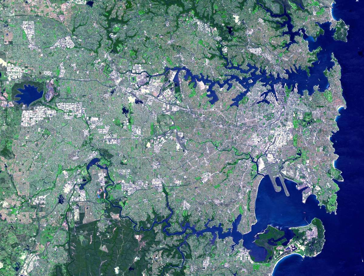
Seabin's floating bins have captured 33.0 million items in Sydney Harbour since 2020, including 18.9 million microplastics (company figures). Seabins: floating trash skimmers in marinas and ports, plus a live data dashboard.

Read the 5 W's

Seagrass Meadows image

Image: NASA/KSC.

Seagrass Meadows

Seagrass covers just 0.1% of the seafloor but stores 11% of the ocean's buried organic carbon. See also Mangroves on Deforestation. Underwater flowering plants forming meadows.

Read the 5 W's

The Ocean Cleanup image

The Ocean Cleanup

The Ocean Cleanup removes plastic from oceans and intercepts it in rivers. The largest cleanup in history — removing plastic from our oceans and rivers. Two fronts: large floating systems that extract legacy plastic from ocean garbage patches, and solar-powered Interceptors that catch plastic in rivers before it reaches the sea.

Read the 5 W's

Hub Summary

Removing plastic from the open ocean, coastlines and rivers, and paying people to collect it before it reaches the sea.

Plastic in the ocean breaks into smaller pieces that are far harder to recover. Removing it early, or stopping it upstream, keeps it out of food chains.

Impact: Three groups on this hub pull plastic out of the ocean and the rivers that feed it. The Ocean Cleanup reports about 65 million kg removed from rivers and the ocean.

Planetary Defense (Top)

Hera image

Image: ESA – Science Office, CC BY-SA 3.0 IGO. Resized from the original.

Hera

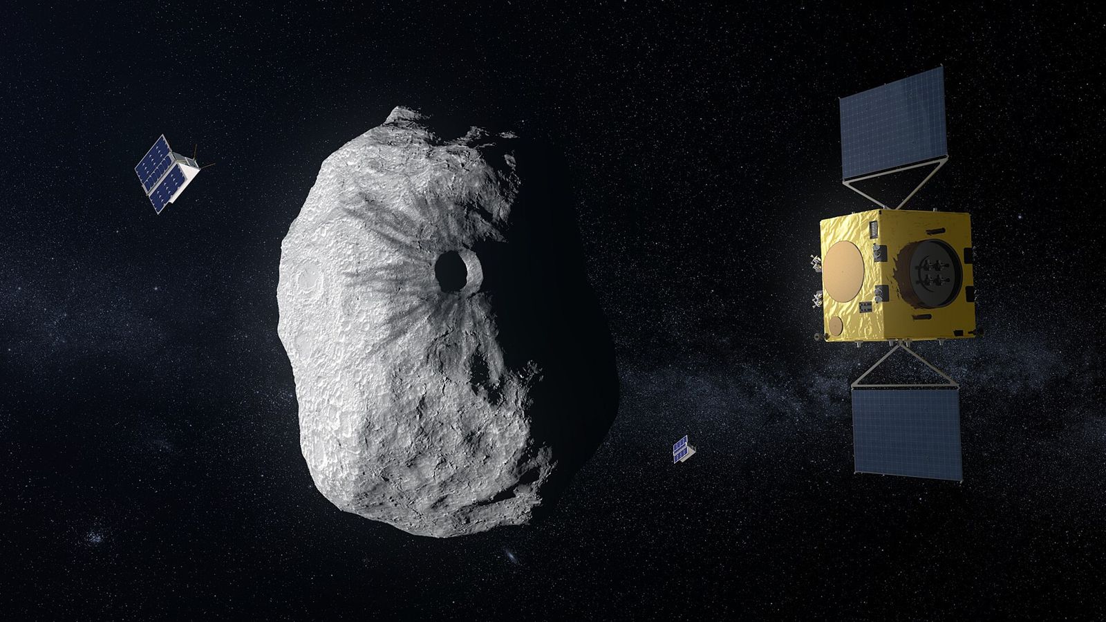
ESA's Hera arrives at the asteroid Dimorphos in November 2026 to measure what NASA's DART impact did, turning deflection into a repeatable defense. A small, van-sized deep-space spacecraft that will perform a close-up "crash scene investigation" of Dimorphos, measuring its mass, its shifted orbit and DART's impact crater. Juventas will make the first radar sounding inside an asteroid.

Read the 5 W's

Jupiter image

Image: NASA / JPL-Caltech / SwRI / MSSS, enhanced color by Kevin Gill. JunoCam, July 10, 2017 (PIA21395).

Jupiter

Jupiter is a natural space debris removal system that swallows or flings away far more dangerous objects than any human mission could. A natural debris-removal and deflection system. Its gravity captures or ejects asteroids and comets that would otherwise cross the inner solar system, and it shapes orbits across the whole neighborhood.

Read the 5 W's

NEO Surveyor image

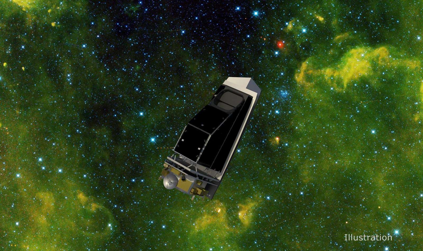
Image: NASA/JPL-Caltech/University of Arizona (PIA25253, illustration).

NEO Surveyor

NASA NEO Surveyor is the first space telescope built to find hazardous asteroids, including dark ones hidden in the Sun's glare. Launch NET September 2027. The first space telescope specifically designed to detect asteroids and comets that may be potential hazards to Earth: a single telescope about 50 cm (almost 20 inches) across, seeing in two heat-sensing infrared wavelengths.

Read the 5 W's

OSIRIS-APEX and Apophis 2029 (NASA) image

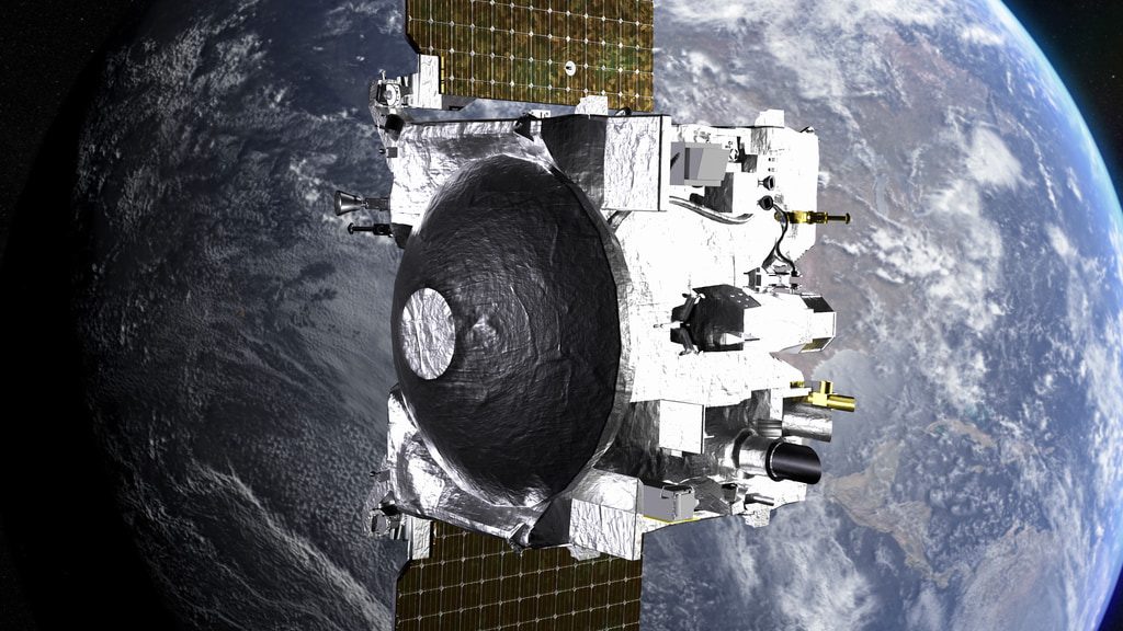
Image: NASA.

OSIRIS-APEX and Apophis 2029 (NASA)

On April 13, 2029, asteroid Apophis passes about 20,000 miles from Earth. NASA's OSIRIS-APEX meets it in June 2029 to see how that close pass changes it. An asteroid rendezvous mission studying how a close pass of Earth affects a stony asteroid.

Read the 5 W's

Ramses (ESA / JAXA) image

Image: ESA.

Ramses (ESA / JAXA)

ESA and JAXA's Ramses must launch by spring 2028 to meet Apophis before its 2029 Earth pass. Its €81.2 million build contract was signed in February 2026. A spacecraft with two CubeSats that will study Apophis before, during and after its Earth pass.

Read the 5 W's

Webb and 2024 YR4 image

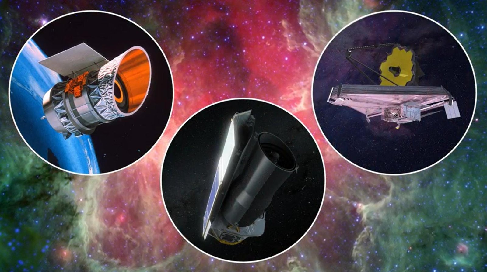
Image: NASA/JPL-Caltech (PIA25790, illustration of IRAS, Spitzer and Webb).

Webb and 2024 YR4

How the James Webb Space Telescope tracked asteroid 2024 YR4 in February 2026 and ruled out a 2032 Moon impact, two years before ground telescopes could. Asteroid 2024 YR4, about 60 meters across, was briefly the most dangerous asteroid found in 20 years. Earth impact was soon ruled out, but a roughly 4% chance of hitting the Moon on December 22, 2032 remained (NASA's last estimate was 4.3%).

Read the 5 W's

Hub Summary

Finding and tracking asteroids early, and testing ways to push one aside. DART changed Dimorphos's orbit by 33 minutes and 15 seconds.

NEO Surveyor aims to find two-thirds of unknown near-Earth objects larger than 140 m within five years.

Impact: Planetary defense has two halves. First, find and track asteroids and comets early. Then, if one is ever on course for Earth, have a tested way to push it aside. Humanity has now done both: NASA's DART spacecraft hit the asteroid moonlet Dimorphos on September 26, 2022 and shortened its 11-hour-55-minute orbit by 33 minutes and 15 seconds.

Project Rawane (Top)

Artemis II (NASA / CSA) image

Image: NASA, Artemis II launch.

Artemis II (NASA / CSA)

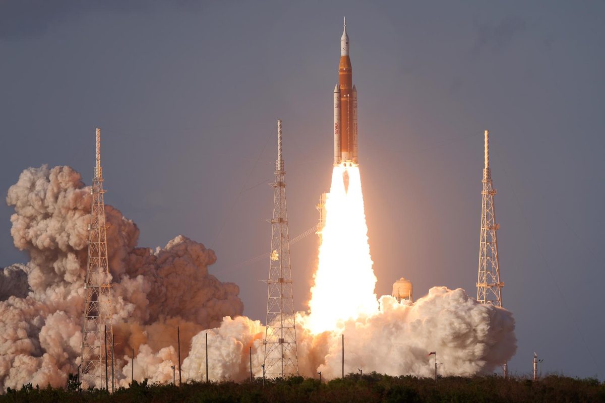
Artemis II carried four astronauts around the Moon in April 2026, reaching 252,756 miles from Earth, farther than any humans before. A series of crewed missions on SLS and Orion: a lunar flyby (Artemis II, flown), an Earth-orbit lander test (Artemis III) and a return to the lunar surface (Artemis IV).

Read the 5 W's

ESCAPADE (NASA) image

Image: NASA.

ESCAPADE (NASA)

NASA's twin ESCAPADE spacecraft will study how the solar wind strips Mars' atmosphere, after an Earth slingshot in fall 2026. Twin orbiters studying Mars' magnetosphere and atmospheric escape.

Read the 5 W's

ExoMars Rosalind Franklin Rover (ESA) image

Image: NASA/JPL-Caltech/MSSS (PIA17068, NASA's Curiosity drilling on Mars).

ExoMars Rosalind Franklin Rover (ESA)

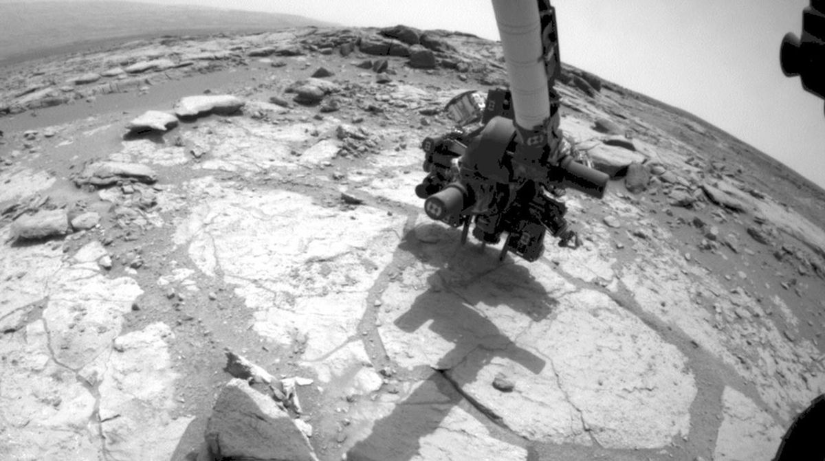
Europe's first Mars rover, Rosalind Franklin, will drill 2 meters down to look for signs of past life, targeting launch in 2028. Rosalind Franklin, the first European rover and the first mission able to both travel across Mars and study it at depth, with an onboard laboratory.

Read the 5 W's

Nancy Grace Roman Space Telescope (NASA) image

Image: NASA/Sydney Rohde. Roman lifts off on a Falcon Heavy, Aug 30, 2026.

Nancy Grace Roman Space Telescope (NASA)

NASA's Roman telescope launched Aug 30, 2026 to L2: Hubble-sharp images 100x wider, a census of planetary systems, first images by early 2027.

Read the 5 W's

Plato (ESA) image

Image: NASA/JPL-Caltech (PIA19333, artist concept).

Plato (ESA)

ESA's Plato will use 26 cameras to hunt for Earth-like planets around Sun-like stars, with launch planned for March 2027 on Ariane 6. PLAnetary Transits and Oscillations of stars: a space telescope with 26 cameras that studies rocky exoplanets and the stars they orbit.

Read the 5 W's

Hub Summary

One living roll-up of Project Rawane: space disposal made by mankind and by nature, planetary defense, space weather and voyages outward, each with a sourced Impact Statement, The Five W's and, where there is a schedule, a live status widget.

Space and Earth are one system. Debris threatens the satellites we rely on, solar storms threaten power grids, and every voyage outward shows how precious home is. Current, sourced information helps more people understand the fixes, and support them.

Impact: Project R: the two-way relationship between Earth and space — how space work protects the planet and planetary work keeps space worth protecting.

Rivers (Top)

Beavers, River Engineers image

Image: NASA (PIA26448, Klamath River, Oregon and California).

Beavers, River Engineers

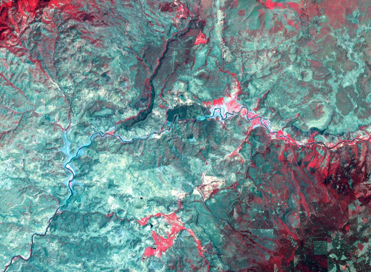
In Oregon's Bridge Creek, beavers given simple dam starters raised juvenile steelhead survival 52% and production 175% (NOAA Fisheries). Beaver dam analogs: simple structures beavers build on, raising water and reconnecting streams to floodplains.

Read the 5 W's

Mr. Trash Wheel Family image

Image: NASA.

Mr. Trash Wheel Family

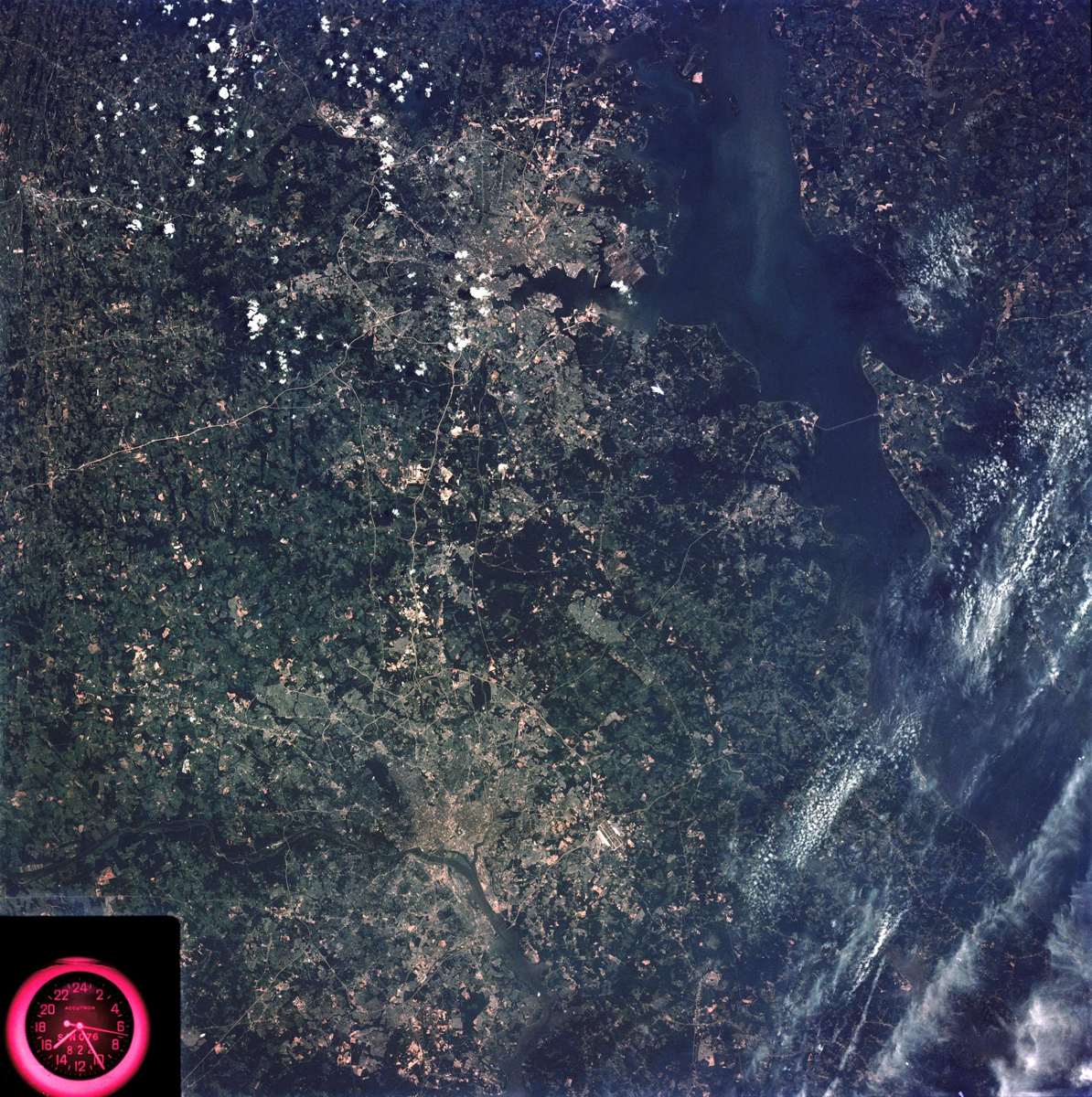
Baltimore's Trash Wheels intercept about 500 tons of trash a year before it reaches the harbor and the Chesapeake Bay (organization figure). Four trash interceptors that use the current and solar power to lift litter out of the water.

Read the 5 W's

Sungai Watch image

SI-generated image by Saving Planets.

Sungai Watch

Trash barriers and daily cleanups stopping plastic in Indonesian rivers. Barriers, daily cleanups, and sorting on Indonesia’s rivers. Custom trash barriers in rivers, then daily collection, sorting into material categories, and upcycling through Sungai Design. Sungai means river in Indonesian.

Read the 5 W's

The Great Bubble Barrier image

SI-generated image by Saving Planets.

The Great Bubble Barrier

A curtain of bubbles catching plastic across the full width and depth of a waterway. A perforated tube on the riverbed pumps air into a diagonal curtain of bubbles. The rising current lifts plastic to the surface and the flow carries it into a catchment system.

Read the 5 W's

Hub Summary

Barriers, bubble curtains and solar-powered Interceptors that stop floating plastic in rivers and canals.

Stopping plastic upstream is cheaper and easier than collecting it once it has spread across the ocean.

Impact: Rivers carry plastic from land to the sea, so catching it in the river is one of the most direct fixes. This hub covers The Ocean Cleanup's Interceptors, Sungai Watch's trash barriers in Indonesia and The Great Bubble Barrier in the Netherlands. Each solution page lists its own sourced figures.

Space (Top)

Astroscale

Astroscale

Astroscale inspects, services and removes debris in orbit: ELSA-d, ADRAS-J's 2024 close-up of an H-IIA upper stage, and ADRAS-J2, targeted for fiscal 2027. On-orbit servicing: magnetic capture for end-of-life satellites, close inspection of debris, and planned robotic removal, life extension, and refueling.

Read the 5 W's

ClearSpace image

ClearSpace

ClearSpace leads Europe's first active debris removal mission and provides in-orbit servicing. Robotic servicers that find, capture, and deorbit space debris, plus inspection and life-extension missions. ClearSpace-1 uses four robotic arms to grapple a non-responsive object and drag it into a controlled reentry.

Read the 5 W's

Jupiter image

Image: NASA / JPL-Caltech / SwRI / MSSS, enhanced color by Kevin Gill. JunoCam, July 10, 2017 (PIA21395).

Jupiter

Jupiter is a natural space debris removal system that swallows or flings away far more dangerous objects than any human mission could. A natural debris-removal and deflection system. Its gravity captures or ejects asteroids and comets that would otherwise cross the inner solar system, and it shapes orbits across the whole neighborhood.

Read the 5 W's

Orbital data centers

Orbital Data Centers

Compute in orbit: solar power, radiative cooling, and no water-cooling towers. AI chips in orbit, powered by the sun and cooled by space itself. Satellites that run AI chips on solar power and dump waste heat by radiating it into space, instead of using water-cooling towers on the ground.

Read the 5 W's

Deep-blue ice giant planet against black space

PRELUDE (ClearSpace)

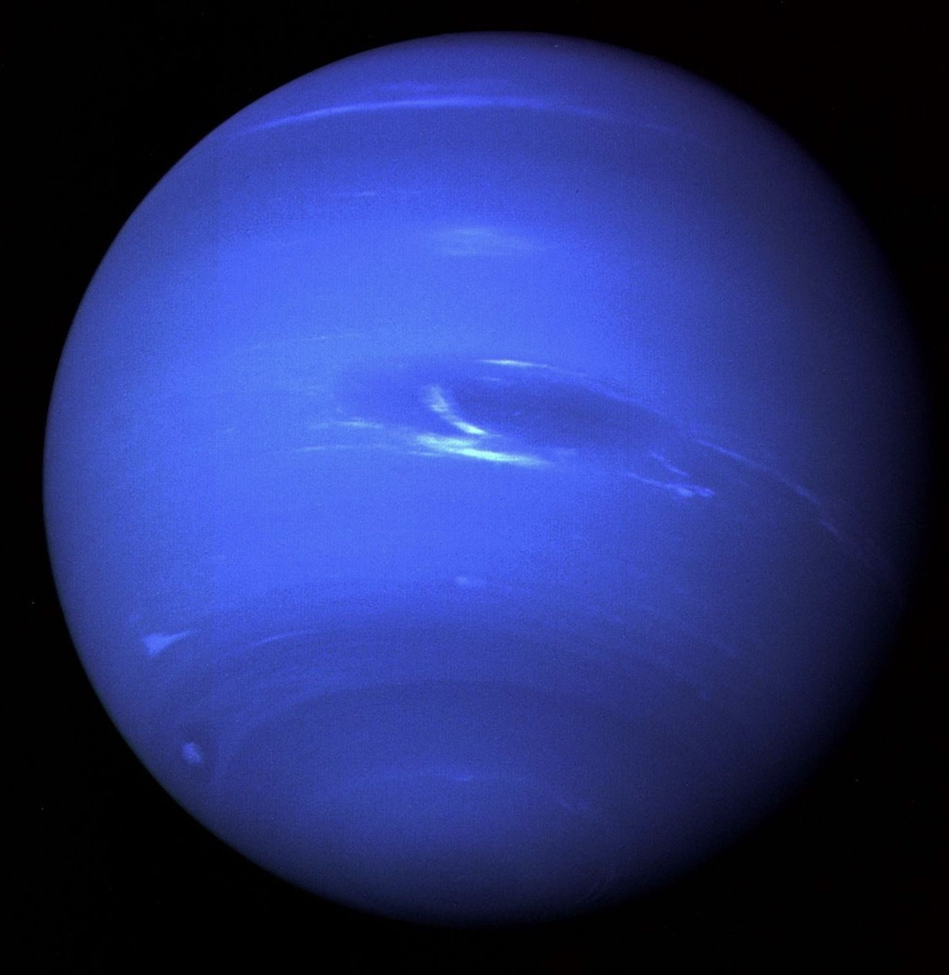
PRELUDE is a ClearSpace and ESA mission planned for June 2027 to validate close-proximity rendezvous technology. A potential solution on the horizon. A mission to validate close-proximity rendezvous technology, a step toward capturing debris.

Read the 5 W's

Hub Summary

Removing debris from orbit, moving computing into space, and the natural shielding of a giant planet.

Debris threatens the satellites we rely on. Keeping orbit clean protects weather, navigation and communications on the ground.

Impact: Space is part of Earth's environment. This hub collects work that keeps orbit usable and moves some of Earth's load off the ground: debris-removal companies Astroscale and ClearSpace, orbital data centers, and Jupiter, the natural debris shield. Each solution page carries its own sourced figures, with company figures labeled.

Space Disposal (Top)

Aeolus Assisted Reentry (ESA) image

Image: NASA.

Aeolus Assisted Reentry (ESA)

ESA guided its retired Aeolus wind satellite down in the first assisted reentry of its kind, cutting the already low debris risk by a factor of 150. A series of engine burns that steered a satellite never designed for controlled reentry into a safer, planned reentry.

Read the 5 W's

Astroscale

Astroscale

Astroscale inspects, services and removes debris in orbit: ELSA-d, ADRAS-J's 2024 close-up of an H-IIA upper stage, and ADRAS-J2, targeted for fiscal 2027. On-orbit servicing: magnetic capture for end-of-life satellites, close inspection of debris, and planned robotic removal, life extension, and refueling.

Read the 5 W's

Atmospheric Drag image

Image: NASA, ISS Expedition 29 crew (iss029e034092): the Progress 42 cargo ship burning up on re-entry.

Atmospheric Drag

A natural debris vacuum. Even where the air is extremely thin, it still produces drag that slows objects in low Earth orbit and pulls them down until they burn up.

Read the 5 W's

ClearSpace image

ClearSpace

ClearSpace leads Europe's first active debris removal mission and provides in-orbit servicing. Robotic servicers that find, capture, and deorbit space debris, plus inspection and life-extension missions. ClearSpace-1 uses four robotic arms to grapple a non-responsive object and drag it into a controlled reentry.

Read the 5 W's

Europa Clipper image

Image: NASA/JPL-Caltech.

Europa Clipper

NASA's Europa Clipper is on its way to Jupiter's ocean moon, with an Earth gravity assist on December 3, 2026 and 49 close Europa flybys from 2030. An orbiter that will make 49 close flybys of Europa to study its ice shell, ocean and chemistry.

Read the 5 W's

Juice image

Image: NASA/JPL-Caltech.

Juice

ESA's Juice will study Ganymede, Callisto and Europa, with 35 moon flybys after it reaches Jupiter in July 2031. Cruising. A spacecraft with 85 square metres of solar wings and ten instruments, studying Jupiter and three ocean-bearing moons.

Read the 5 W's

Jupiter image

Image: NASA / JPL-Caltech / SwRI / MSSS, enhanced color by Kevin Gill. JunoCam, July 10, 2017 (PIA21395).

Jupiter

Jupiter is a natural space debris removal system that swallows or flings away far more dangerous objects than any human mission could. A natural debris-removal and deflection system. Its gravity captures or ejects asteroids and comets that would otherwise cross the inner solar system, and it shapes orbits across the whole neighborhood.

Read the 5 W's

LeoLabs image

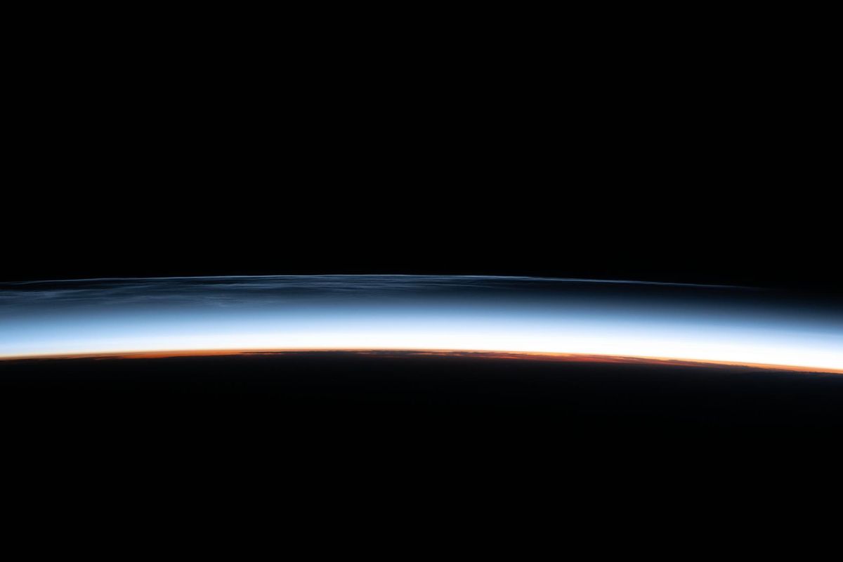
Image: NASA, ISS Expedition 23 crew (iss023e057948): the thin layer of atmosphere that low-orbit satellites fly through.

LeoLabs

A global network of ground-based radars that track satellites and debris in low Earth orbit and turn the data into collision warnings, a kind of traffic camera system for low orbit.

Read the 5 W's

LignoSat Wooden Satellite (Kyoto University) image

Image: Kyoto University via NASA.

LignoSat Wooden Satellite (Kyoto University)

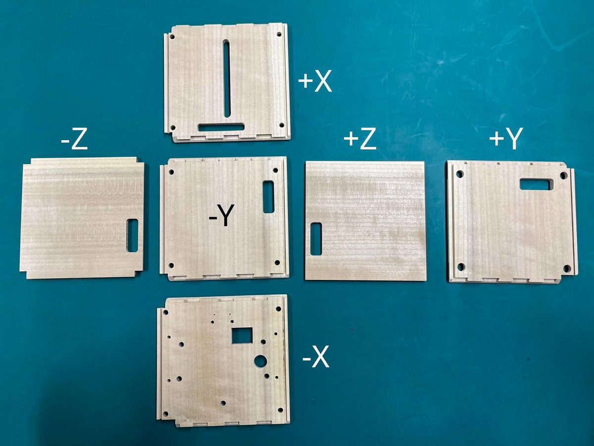
LignoSat, the world's first wooden satellite, proved wood can survive in orbit; a follow-on is a potential solution on the horizon. A 10 cm CubeSat with a wooden structure, testing how wood handles strain, temperature and radiation in space.

Read the 5 W's

MMX image

Image: NASA/JPL-Caltech/University of Arizona, Mars Reconnaissance Orbiter HiRISE (PIA10368).

MMX

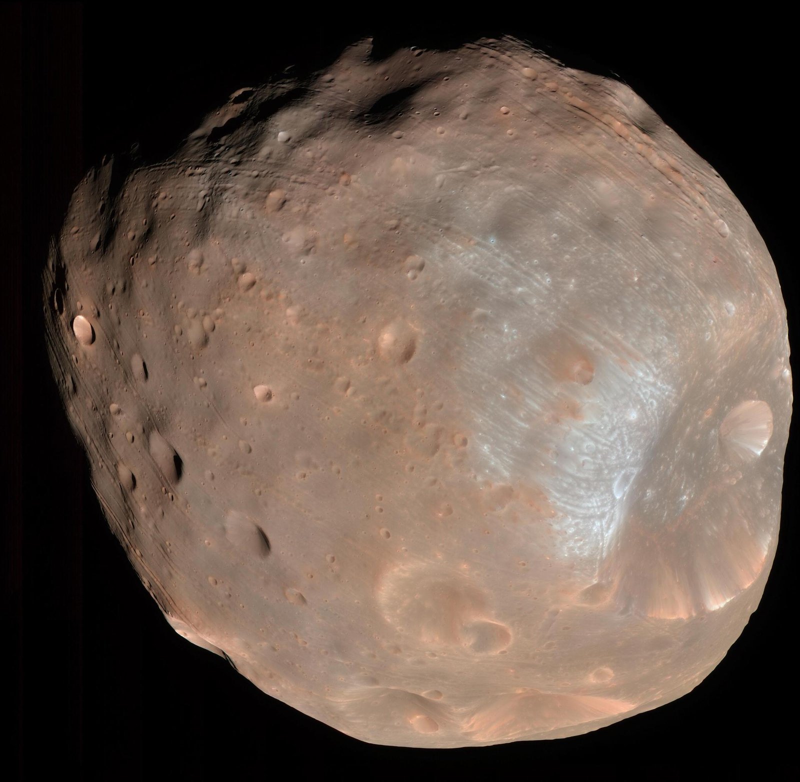
JAXA's MMX launches October 2026 to land on Mars's moon Phobos and return at least 10 grams of it to Earth in 2031, a first for the Mars system. Martian Moons eXploration: a three-module spacecraft of about 4,200 kg that will study both moons of Mars, land on Phobos, and bring a sample home, the first sample return from the Mars system.

Read the 5 W's

Northrop Grumman SpaceLogistics image

Image: NASA.

Northrop Grumman SpaceLogistics

Life extension in GEO: two MEVs have docked with three satellites, and the Mission Robotic Vehicle and three pods launched July 21, 2026 (company figures). Servicers that dock with satellites to extend their lives (MEV) or install propulsion pods (MRV and MEPs).

Read the 5 W's

Deep-blue ice giant planet against black space

PRELUDE (ClearSpace)

PRELUDE is a ClearSpace and ESA mission planned for June 2027 to validate close-proximity rendezvous technology. A potential solution on the horizon. A mission to validate close-proximity rendezvous technology, a step toward capturing debris.

Read the 5 W's

Starfish Space Otter image

Image: NASA.

Starfish Space Otter

The first Otter launched October 1, 2026 for NASA's SSPICY mission, inspecting up to four dead satellites and rocket bodies from 2027. Otter, a satellite servicing vehicle; first mission is an inspection demo.

Read the 5 W's

The Moon Steadies Earth’s Tilt image

Image: NASA/NOAA DSCOVR EPIC.

The Moon Steadies Earth’s Tilt

Saving moons, saving planets: the Moon keeps Earth's 23.5-degree tilt in check, which keeps our seasons and climate stable (NASA). A natural stabilizer: the Moon keeps Earth’s 23.5-degree tilt in check and sets the rhythm of the tides.

Read the 5 W's

Titan image

Image: NASA/JPL/University of Arizona/University of Idaho. Cassini VIMS infrared mosaic, “Peering Through Titan's Haze” (PIA20016).

Titan

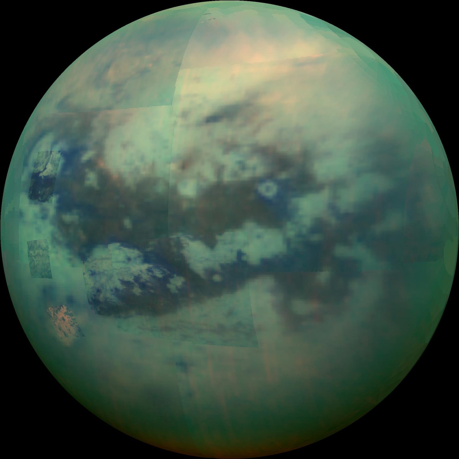
Titan is a prebiotic time capsule, and NASA's Dragonfly rotorcraft explores it from 2034, building radar, power and autonomy tools that matter for Earth. Dragonfly, a car-sized rotorcraft lander with eight rotors, the first of its kind to explore another world. It will hop between sites, sampling surface material to study how far prebiotic chemistry has progressed.

Read the 5 W's

U.S. Deorbit Vehicle (NASA / SpaceX) image

Image: NASA.

U.S. Deorbit Vehicle (NASA / SpaceX)

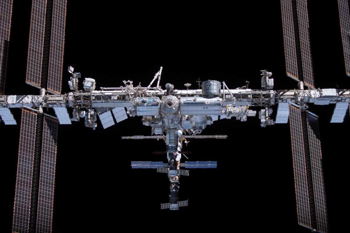
NASA selected SpaceX to build the U.S. Deorbit Vehicle that will guide the International Space Station safely out of orbit after 2030. A dedicated spacecraft that will provide the capability to deorbit the station in a controlled manner.

Read the 5 W's

Hub Summary

Robotic capture and deorbit of legacy debris — servicer spacecraft that rendezvous with dead rocket bodies and satellites, grab them with robotic arms, and lower their orbits so they burn up in the atmosphere.

Debris threatens the satellites that monitor our climate and guide ships safely across the ocean. One collision can make thousands of new fragments. Protecting orbits protects Earth.

Impact: Space Disposal: the missions that capture and remove legacy debris from orbit, led by Astroscale's ADRAS-J2 for JAXA. Space disposal has moved from…

Space Weather (Top)

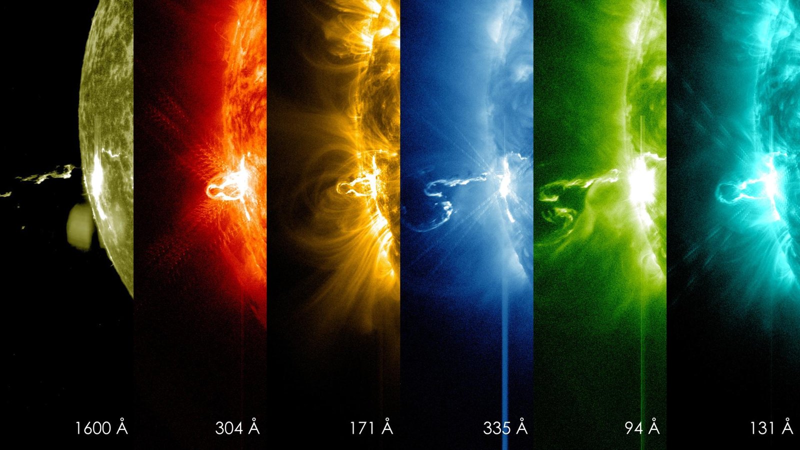
The Sun glowing in extreme ultraviolet light, imaged by NASA's Solar Dynamics Observatory

Image: NASA/SDO (Solar Dynamics Observatory), a solar flare seen in six wavelengths.

Aditya-L1 (ISRO)

Aditya-L1 is ISRO's first space-based solar observatory, studying the Sun from a halo orbit around L1, about 1.5 million km from Earth. India's first space-based solar observatory, with seven payloads studying the Sun and the solar windA steady stream of charged particles flowing out from the Sun in every direction. Glossary.

Read the 5 W's

Carruthers Geocorona Observatory (NASA) image

Image: NASA/KSC.

Carruthers Geocorona Observatory (NASA)

The first mission dedicated to Earth's exosphere, Carruthers watches our planet's ultraviolet halo from about a million miles sunward. A space telescope surveying Earth's exosphere in ultraviolet light.

Read the 5 W's

GOES-19 and CCOR-1 (NOAA) image

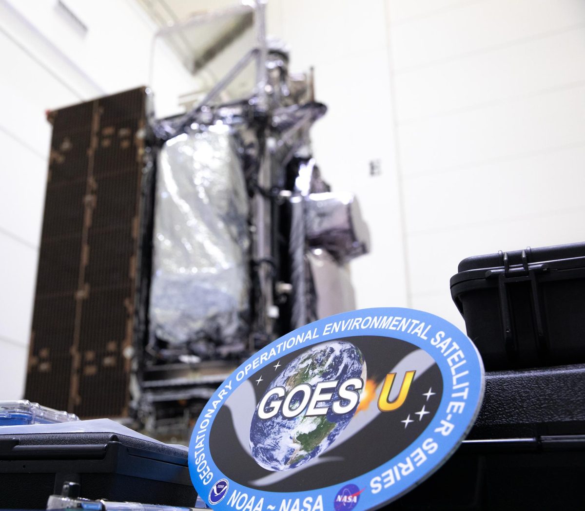
Image: NASA/KSC.

GOES-19 and CCOR-1 (NOAA)

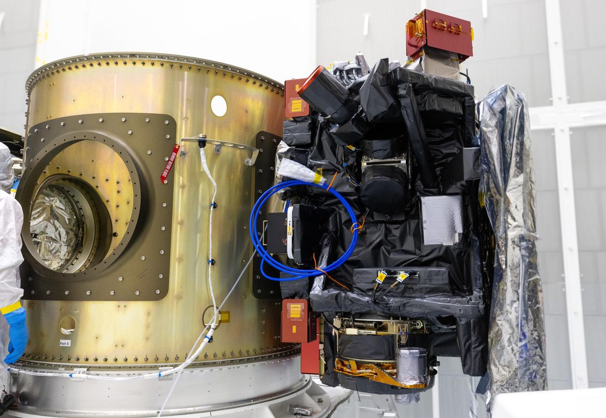
NOAA's GOES-19 carries CCOR-1, the world's first operational space-based coronagraph, imaging the Sun's corona every 15 minutes. A weather satellite whose CCOR-1 coronagraph watches the corona from 3.7 to 17 solar radii, replacing the aging coronagraphs on SOHO.

Read the 5 W's

IMAP (NASA) image

Image: NASA/KSC.

IMAP (NASA)

NASA's IMAP watches the Sun from about a million miles sunward and can give about a half hour's warning of incoming radiation. A 900 kg spacecraft that measures particles from the Sun and maps the boundary of the heliosphere, the bubble that helps shield the solar system from cosmic rays.

Read the 5 W's

PUNCH (NASA) image

Image: NASA.

PUNCH (NASA)

Four suitcase-sized NASA satellites image the Sun's corona and solar wind together, in 3D, since March 2025. Active in low Earth orbit. Four suitcase-sized satellites making 3D images of the corona and solar wind.

Read the 5 W's

Solar Orbiter (ESA / NASA) image

Image: NASA/KSC.

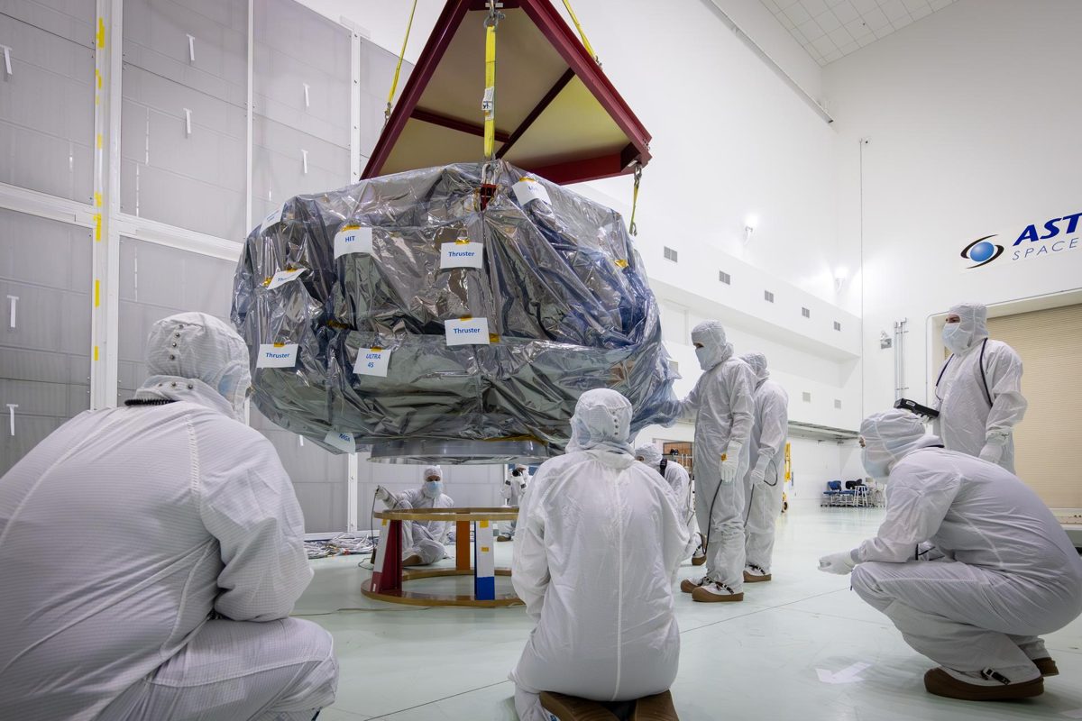
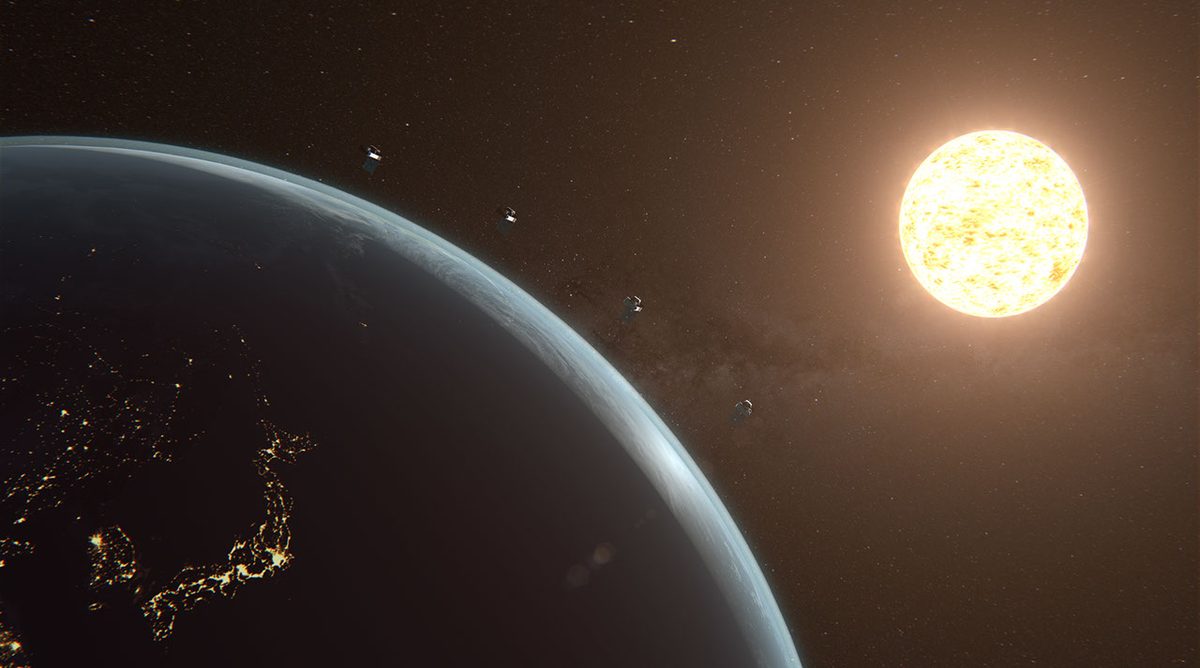
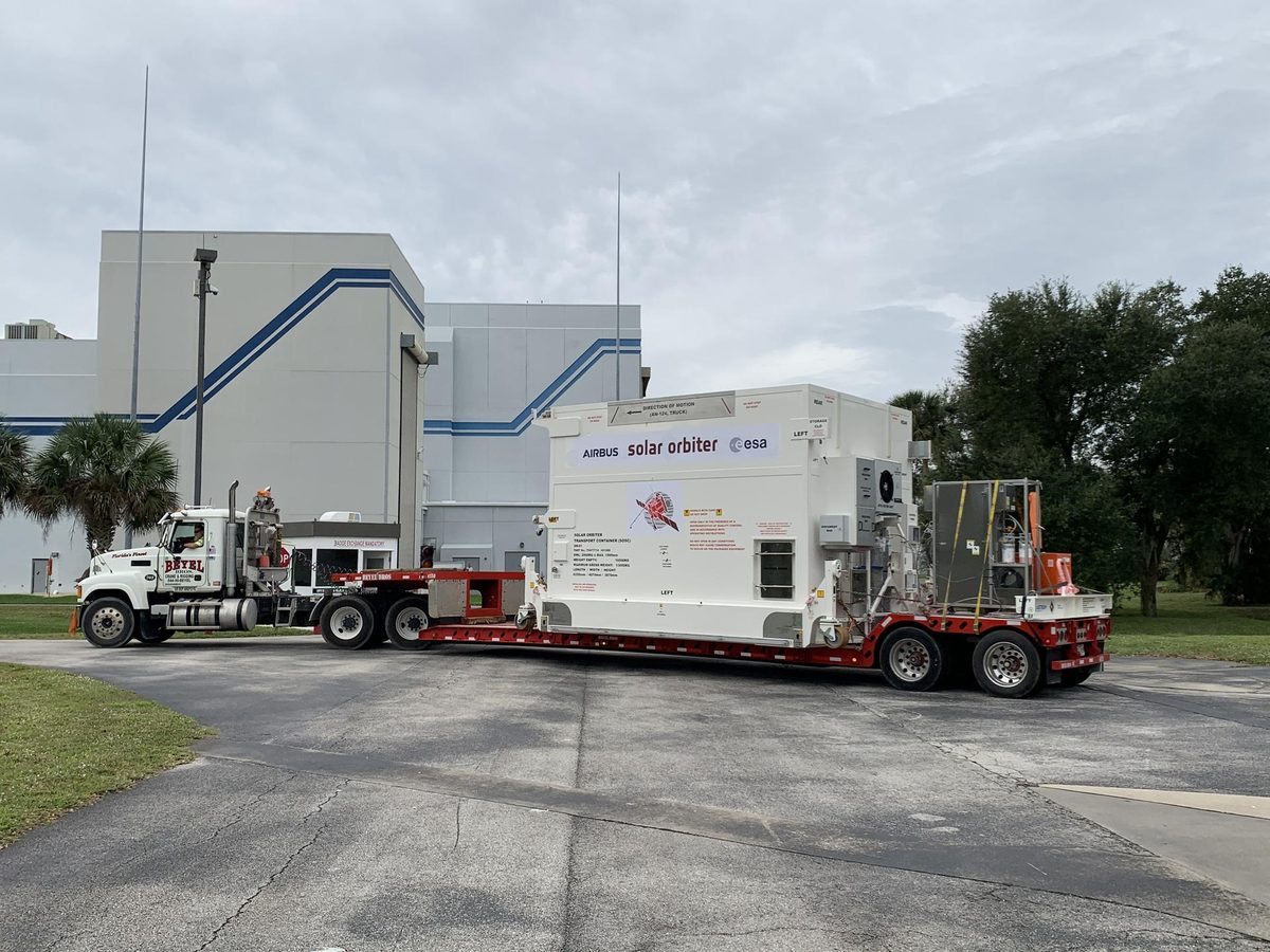
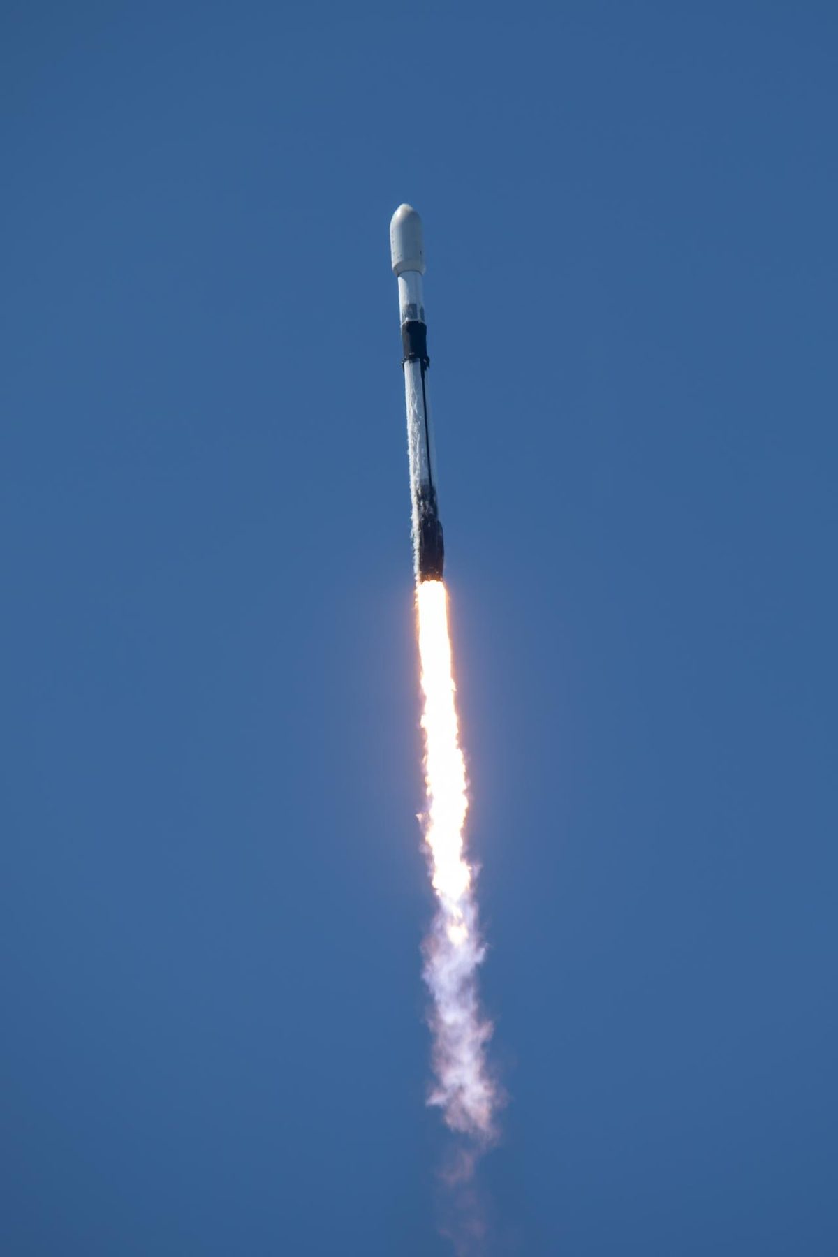
Solar Orbiter (ESA / NASA)

ESA and NASA's Solar Orbiter took the first close-up images of the Sun's poles, coming within 42 million km of the Sun. Active, orbiting the Sun. A Sun-observing spacecraft with ten instruments.

Read the 5 W's

The Sun glowing in extreme ultraviolet light, imaged by NASA's Solar Dynamics Observatory

Image: NASA/SDO (Solar Dynamics Observatory), a solar flare seen in six wavelengths.

SOLAR-1 (NOAA)

NOAA's SOLAR-1 (formerly SWFO-L1) watches the Sun from L1, about one million miles from Earth, streaming space weather data to forecasters in real time. The first U.S. satellite designed exclusively for continuous, operational space weather observations.

Read the 5 W's

The Sun glowing in extreme ultraviolet light, imaged by NASA's Solar Dynamics Observatory

Image: NASA/SDO (Solar Dynamics Observatory), a solar flare seen in six wavelengths.

Three Invisible Shields

Three natural shields protect Earth: the heliosphere, the magnetosphere, and the atmosphere and ozone layer. Three layers of protection: the heliosphere, the magnetosphereEarth's invisible magnetic shield. It steers most of the Sun's charged particles away from our planet.

Read the 5 W's

TRACERS (NASA) image

Image: NASA.

TRACERS (NASA)

NASA's twin TRACERS satellites fly through Earth's polar cusps to study magnetic reconnection, a key driver of space weather. Twin satellites studying magnetic reconnection.

Read the 5 W's

The Sun glowing in extreme ultraviolet light, imaged by NASA's Solar Dynamics Observatory

Image: NASA/SDO (Solar Dynamics Observatory), a solar flare seen in six wavelengths.

Vigil (ESA)

ESA's Vigil will watch the Sun from L5, giving up to four to five days' notice of certain space weather effects. Launch is planned for 2031. A space weather forecasting mission that sees solar activity days before it rotates into view from Earth.

Read the 5 W's

Hub Summary

Watching the Sun so forecasters can warn about solar storms, and understanding the shields that protect us.

Vigil can give up to four to five days' notice of some space weather effects, protecting power grids, satellites and astronauts.

Impact: Earth is protected by layers: the Sun's own bubble, our planet's magnetic field, and the air itself. Space weather is what happens when the Sun pushes on those shields. The missions on this page watch the Sun so power grids, satellites and astronauts get warning in time.