Want to go deeper? ESA, Sentinel-1 has the full story and the latest updates.
 For Further Information
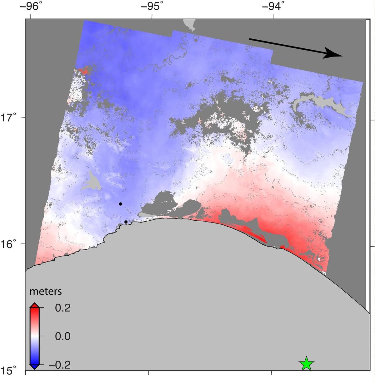
Sentinel-1 radar sees through clouds, day and night, to map floods, earthquakes and ice; Sentinel-1C and 1D joined in 2024 and 2025.
Image: NASA/JPL-Caltech (contains Copernicus Sentinel-1 data, ESA).
Continuous radar imagery for disaster response, ice, land and ocean monitoring.
Source: ESA, Sentinel-1
Agency solution · active
The Copernicus Sentinel-1 satellites carry an advanced radar that supplies all-weather, day-and-night imagery of Earth's surface. Sentinel-1C launched on December 5, 2024 and Sentinel-1D on November 4, 2025, renewing the fleet. Recent ESA stories show it measuring ground movement after earthquakes and major ice loss from Greenland glaciers.
Source: ESA, Sentinel-1
Radar that ignores weather is vital when storms and floods hit.
Want to go deeper? ESA, Sentinel-1 has the full story and the latest updates.
For Further Information