Want to go deeper? NASA, EPIC has the full story and the latest updates.
 For Further Information
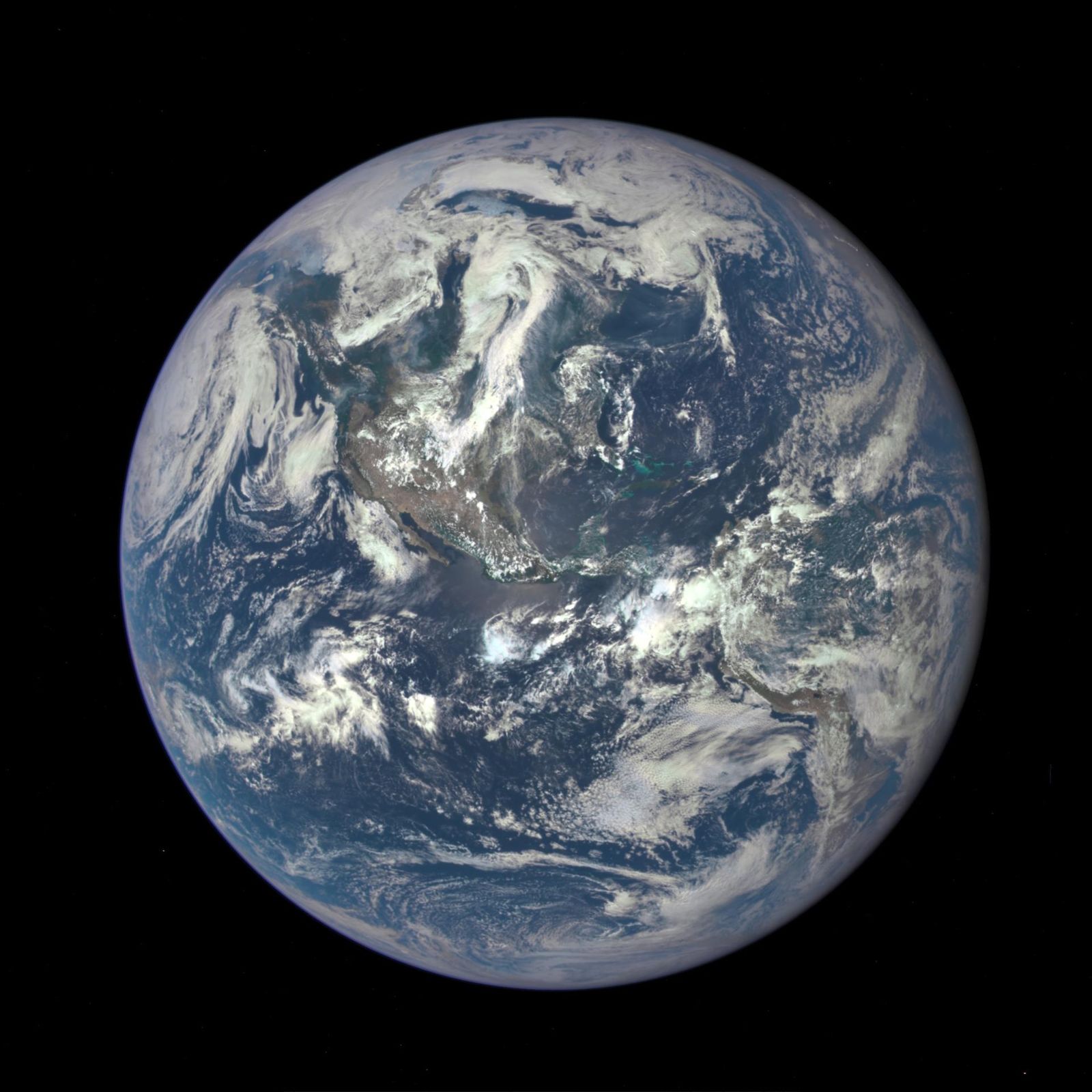
NASA's EPIC camera rides on NOAA's DSCOVR spacecraft at the L1 point, photographing the entire sunlit face of Earth several times a day, with an archive back to 2015.
Image: NASA/NOAA DSCOVR EPIC.
Archive back to 2015; new high-resolution tropospheric ozone product released October 5, 2026.
Daily whole-Earth views, including ozone measurements, track our changing planet.
Agency solution · active
NASA's EPIC camera rides on NOAA's DSCOVR spacecraft at the L1 point, photographing the entire sunlit face of Earth several times a day, with an archive back to 2015.
Source: NASA, EPIC
On October 5, 2026, NASA released a new high-resolution EPIC tropospheric ozone product, gridded at 0.25°. This is the honest home for "space watches ozone": EPIC measures it, alongside the ground-based measurements that first found the ozone hole.
Want to go deeper? NASA, EPIC has the full story and the latest updates.
For Further InformationNASA doesn't take donations, but anyone can join one of its citizen science projects.