Want to go deeper? NASA, ICESat-2 has the full story and the latest updates.
 For Further Information
NASA's ICESat-2 laser fires 10,000 pulses a second to measure ice sheets, sea ice, forests and coastal seafloor in 3D.
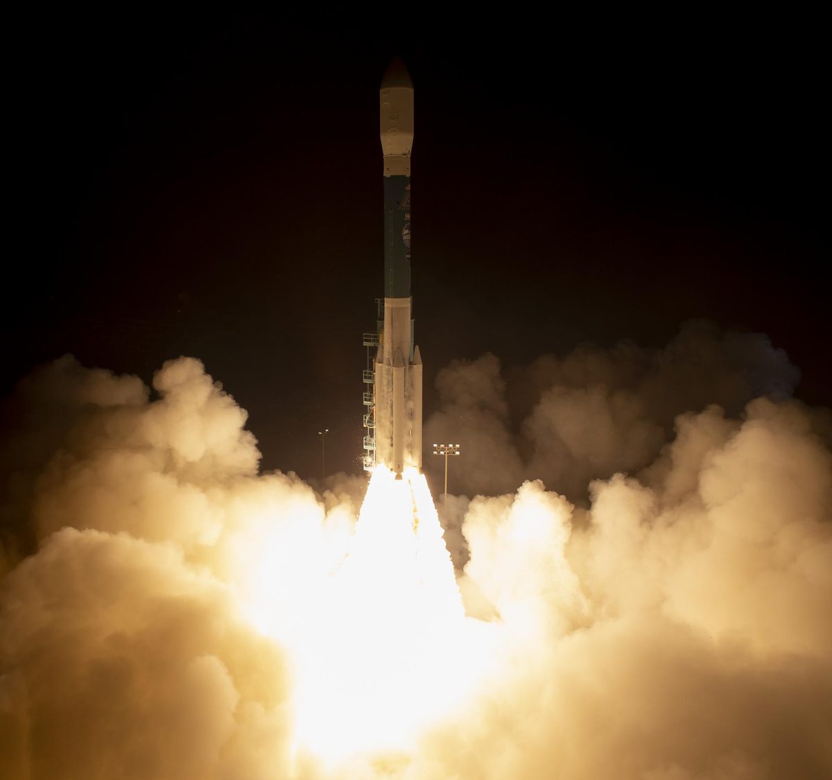
Image: NASA/Bill Ingalls.
Agency solution · active
NASA's ICESat-2 launched on September 15, 2018 and carries a photon-counting laser altimeter that measures the elevation of ice sheets, glaciers, sea ice, tree canopies and the ocean in 3D detail. The laser pulses 10,000 times a second; each pulse releases about 300 trillion photons, and only about a dozen return. It helps scientists see why, and how much, Earth is changing in a warming climate.
Source: NASA, ICESat-2
New ICESat-2 data even map shallow near-shore seafloor from space.
For Further Information: NASA, ICESat-2
ICESat-2's laser fires 10,000 pulses a second, each with about 300 trillion photons, and only about a dozen return to the satellite.
Want to go deeper? NASA, ICESat-2 has the full story and the latest updates.
For Further InformationNASA doesn't take donations, but anyone can join one of its citizen science projects.