Want to go deeper? JAXA, ALOS-4 project page has the full story and the latest updates.
 For Further Information
JAXA's DAICHI-4 radar sees through clouds over a 200 km swath, continuing the radar record used for deforestation alerts.
Image: NASA.
A radar satellite with the PALSAR-3 L-band synthetic aperture radar and a ship-tracking receiver.
Source: JAXA, ALOS-4 project page
Low Earth orbit, imaging land, forests and oceans day and night.
Source: JAXA, ALOS-4 project page
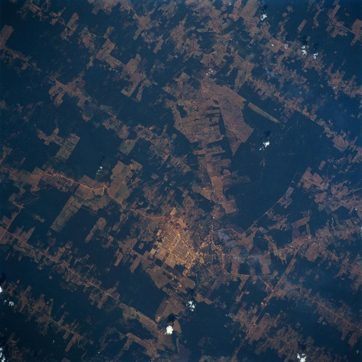
Forests cover 30% of the world's land, and deforestation is strongly linked to rising greenhouse gases.
Source: JAXA, ALOS-4 project page
Agency solution · active
Tropical forests are often under cloud, which hides clearing from ordinary cameras. JAXA's ALOS-4 "DAICHI-4", launched July 1, 2024, carries the L-band PALSAR-3 radar, which sees through clouds and widens the observation swath from 50 km to 200 km at high resolution. Its predecessor's data already powers JAXA's JJ-FAST system, which detects deforestation of a few hectares in 77 countries.
Source: JAXA, ALOS-4 launch result
Source: JAXA, ALOS-4 project page
Want to go deeper? JAXA, ALOS-4 project page has the full story and the latest updates.
For Further Information