NISAR (NASA–ISRO)
NISAR launched from India on July 30, 2025.
You can't protect what you can't measure. These satellites map moving ground, forest carbon, methane leaks and the ozone over the whole planet, and much of their data is free for anyone to use.
NASA, ISRO, ESA and NOAA, plus Carbon Mapper and Planet.
Satellites that map moving ground, forest carbon, methane leaks and the whole sunlit Earth.
Ongoing; each mission section below gives its own dates and sources.
Low Earth orbit and the Sun-Earth L1 point (DSCOVR).
You can't protect what you can't measure, and much of this data is free for anyone to use.
NISAR launched from India on July 30, 2025.
ESA's Biomass satellite launched on April 29, 2025 on Vega-C.
Tanager-1 was built by Planet with a NASA JPL-designed imaging spectrometer for the nonprofit Carbon Mapper coalition.
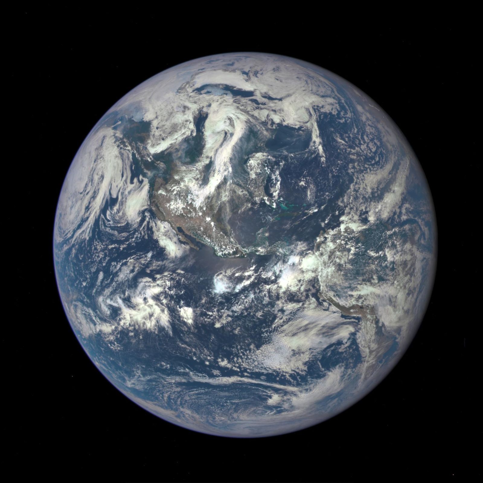
NASA's EPIC camera rides on NOAA's DSCOVR spacecraft at the L1 point, photographing the entire sunlit face of Earth several times a day, with an archive back to 2015.
Agency solution · active
NISAR launched from India on July 30, 2025. Its two radars (NASA's L-band and ISRO's S-band) see through clouds and darkness, scanning nearly all of Earth's land and ice surfaces twice every 12 days.
Source: NASA, NISAR launch
Source: NASA, NISAR quick facts
By comparing passes, it can detect ground or ice moving by about a centimeter, useful for earthquakes, landslides, sinking ground, glaciers and crops.
Source: NASA, NISAR quick facts
Agency solution · active
ESA's Biomass satellite launched on April 29, 2025 on Vega-C. It carries the first P-band synthetic aperture radar in space; its long wavelength (about 70 cm) reaches through forest canopies to measure the woody trunks and branches where carbon is stored.
Source: ESA, Biomass launched to count forest carbon
Its maps of forest carbon, height and disturbance give the world a better count of deforestation and regrowth. See our Forests hub for the groups replanting on the ground.
Corporate / nonprofit solution · active
Tanager-1 was built by Planet with a NASA JPL-designed imaging spectrometer for the nonprofit Carbon Mapper coalition. Its first published methane detection, on September 19, 2024, was a landfill plume in Karachi, Pakistan, with a preliminary estimated rate of 1,200 kg of methane per hour (Carbon Mapper estimate, reported by NASA).
Source: NASA, First greenhouse gas plumes detected
Source: Carbon Mapper, first Tanager-1 detections (company release)
Pinpointing single leaks lets operators and regulators fix them fast, one of the quickest ways to cut warming.
Agency solution · active
NASA's EPIC camera rides on NOAA's DSCOVR spacecraft at the L1 point, photographing the entire sunlit face of Earth several times a day, with an archive back to 2015.
Source: NASA, EPIC
On October 5, 2026, NASA released a new high-resolution EPIC tropospheric ozone product, gridded at 0.25°. This is the honest home for "space watches ozone": EPIC measures it, alongside the ground-based measurements that first found the ozone hole.
Want to go deeper? NASA's EPIC site shows today's images of the whole Earth.
For further information