Want to go deeper? NOAA SWPC, CCOR-1 coronagraph has the full story and the latest updates.
 For Further Information
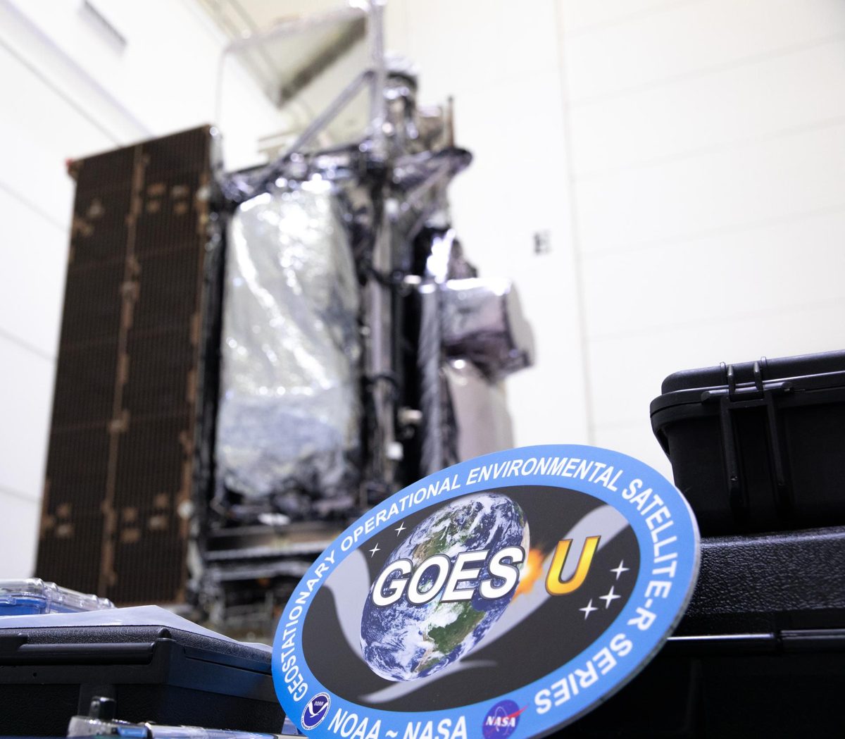
NOAA's GOES-19 carries CCOR-1, the world's first operational space-based coronagraph, imaging the Sun's corona every 15 minutes.
Image: NASA/KSC.
NOAA, which operates the GOES series of weather satellites and its Space Weather Prediction Center uses CCOR-1 imagery.
Source: NOAA NESDIS, first operational space-based coronagraph
A weather satellite whose CCOR-1 coronagraph watches the corona from 3.7 to 17 solar radii, replacing the aging coronagraphs on SOHO.
Source: NOAA SWPC, CCOR-1 coronagraph
Launched June 25, 2024; CCOR-1 first light September 19, 2024; operational as GOES-East April 7, 2025.
Source: NOAA OSPO, GOES status
Source: NOAA NESDIS, first operational space-based coronagraph
Geostationary orbit at 75.2° West, making CCOR-1 the first coronagraph to fly in geostationary orbit.
Source: NOAA OSPO, GOES status
Source: NOAA SWPC, CCOR-1 coronagraph
Coronal mass ejections can disrupt satellites, GPS and power grids; seeing them early gives forecasters time to warn operators.
Source: NOAA NESDIS, first operational space-based coronagraph
Agency solution · active
NOAA's GOES-19 became the operational GOES-East satellite on April 7, 2025. On board is CCOR-1, the world's first operational, space-based coronagraph dedicated to space weather: it blocks the Sun's bright disk and images its faint outer corona every 15 minutes to spot coronal mass ejections heading our way.
Source: NOAA OSPO, GOES status
Source: NOAA SWPC, CCOR-1 coronagraph
For Further Information: NOAA SWPC, CCOR-1 coronagraph
GOES-19's CCOR-1 is the world's first operational space-based coronagraph, imaging the Sun's faint corona every 15 minutes.
Want to go deeper? NOAA SWPC, CCOR-1 coronagraph has the full story and the latest updates.
For Further Information