Want to go deeper? NASA JPL, SWOT freshwater survey has the full story and the latest updates.
 For Further Information
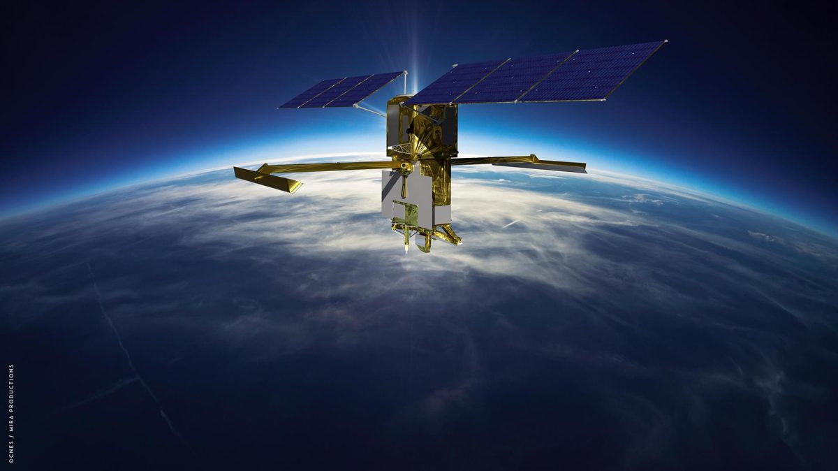
SWOT measures more than 95% of Earth's lakes larger than 15 acres and rivers wider than 330 feet, the first global survey of fresh water.
Image: NASA/JPL-Caltech.
NASA and the French space agency CNES (a U.S.-European mission).
Source: NASA JPL, SWOT freshwater survey
A radar interferometer satellite that measures the height of water on land and at sea.
Source: NASA JPL, SWOT freshwater survey
Operating now; it covers the whole planet every 21 days.
Orbiting 554 miles (891 km) up, scanning between 78° North and 78° South.
Fresh water is unevenly measured on the ground; SWOT gives every country the same view of its rivers and lakes.
Source: NASA JPL, SWOT freshwater survey
Agency solution · active
SWOT (Surface Water and Ocean Topography) is the first global survey of Earth's fresh water. It measures more than 95% of lakes larger than 15 acres and rivers wider than 330 feet, tracking how much water flows through rivers and is stored in lakes and reservoirs.
Source: NASA JPL, SWOT freshwater survey
Source: NASA Earthdata, SWOT data release
Value to Earth: water managers can see droughts and floods building. Value to the atmosphere and climate: SWOT sees ocean eddies smaller than 60 miles across, which move heat and carbon between the ocean and the air. Value to space: it shows what a radar satellite in orbit can measure that no ground network can reach.
Source: NASA JPL, SWOT freshwater survey
For Further Information: NASA JPL, SWOT freshwater survey
NASA–CNES SWOT keeps watch on the water levels of more than a million lakes larger than 15 acres.
Want to go deeper? NASA JPL, SWOT freshwater survey has the full story and the latest updates.
For Further InformationNASA doesn't take donations, but anyone can join one of its citizen science projects.