Want to go deeper? LeoLabs explains its radar network on its website.
 For further information
The traffic cameras of low Earth orbit.
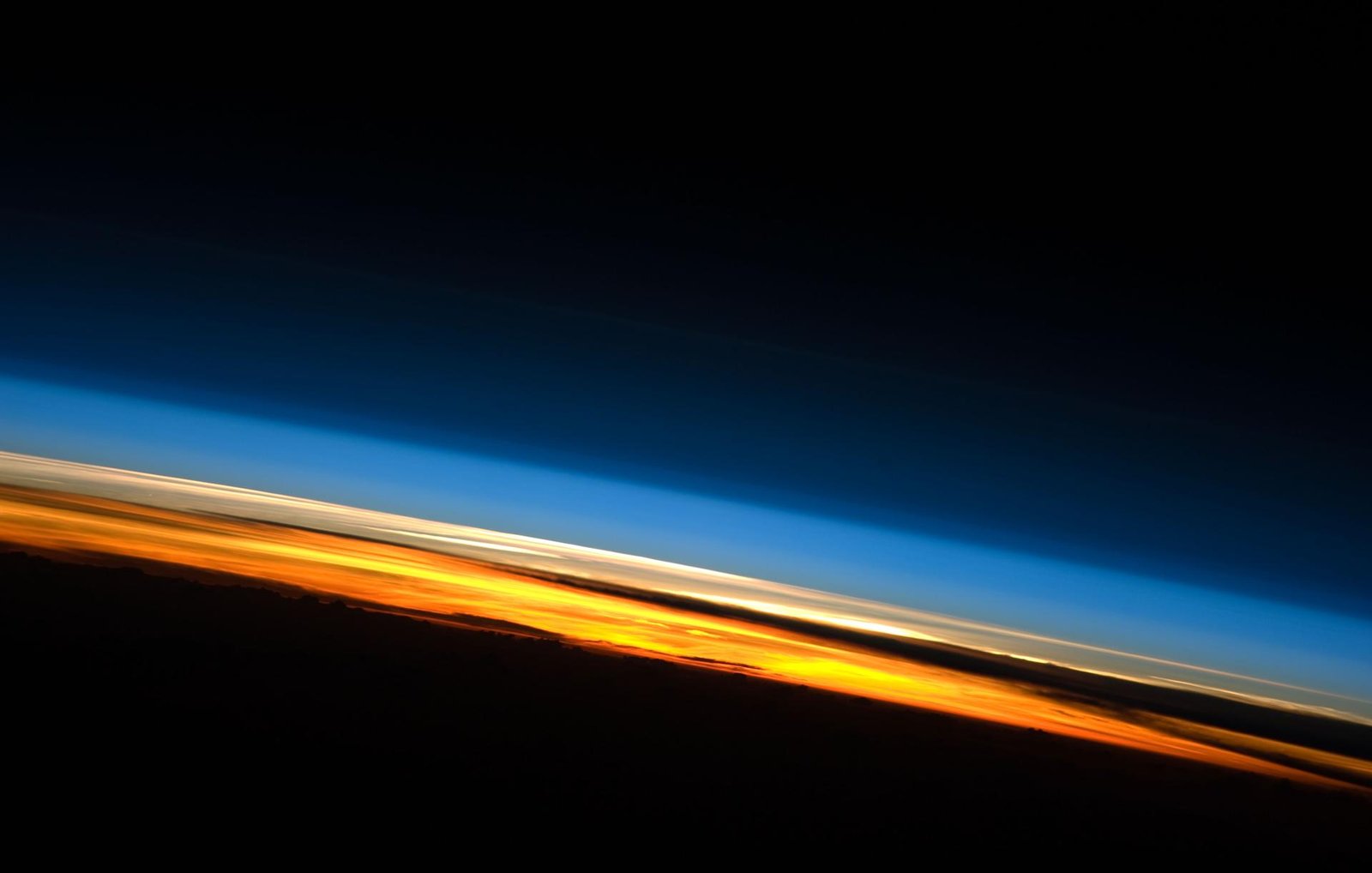
Image: NASA, ISS Expedition 23 crew (iss023e057948): the thin layer of atmosphere that low-orbit satellites fly through.
LeoLabs, a company founded in 2016 as a spinout of SRI International, serving satellite operators, space agencies, defense, insurers and scientists (company description).
A global network of ground-based radars that track satellites and debris in low Earth orbit and turn the data into collision warnings, a kind of traffic camera system for low orbit.
Source: LeoLabs, Radars (company page)
Operating now. Its Costa Rica radar became fully operational in April 2021, built nine months after breaking ground (company figures).
Tracker radars in Australia, the Azores, Costa Rica, New Zealand and Texas, plus a UHF radar in Arizona and time on a partner radar in Alaska (company list).
Source: LeoLabs, Radars (company page)
Debris between 1 and 10 cm, about 500,000 pieces by NASA's estimate, is too small for routine tracking yet can do serious damage. Finding it is the first step to avoiding it.
LeoLabs says its Costa Rica radar can track objects down to 2 cm, and that objects in that range represent the vast majority of the risk in low orbit (company figures, 2021). Its current Tracker radars are listed for debris larger than 10 cm, with a Ranger radar for smaller debris in development (company page).
Source: LeoLabs press release, Apr 2021 (company figure)
Source: LeoLabs, Radars (company page)
Tracking does not remove debris, but it lets operators dodge it and tells removal missions where the targets are.
Want to go deeper? LeoLabs explains its radar network on its website.
For further information