Want to go deeper? ESA, Copernicus Sentinel-6 has the full story and the latest updates.
 For Further Information
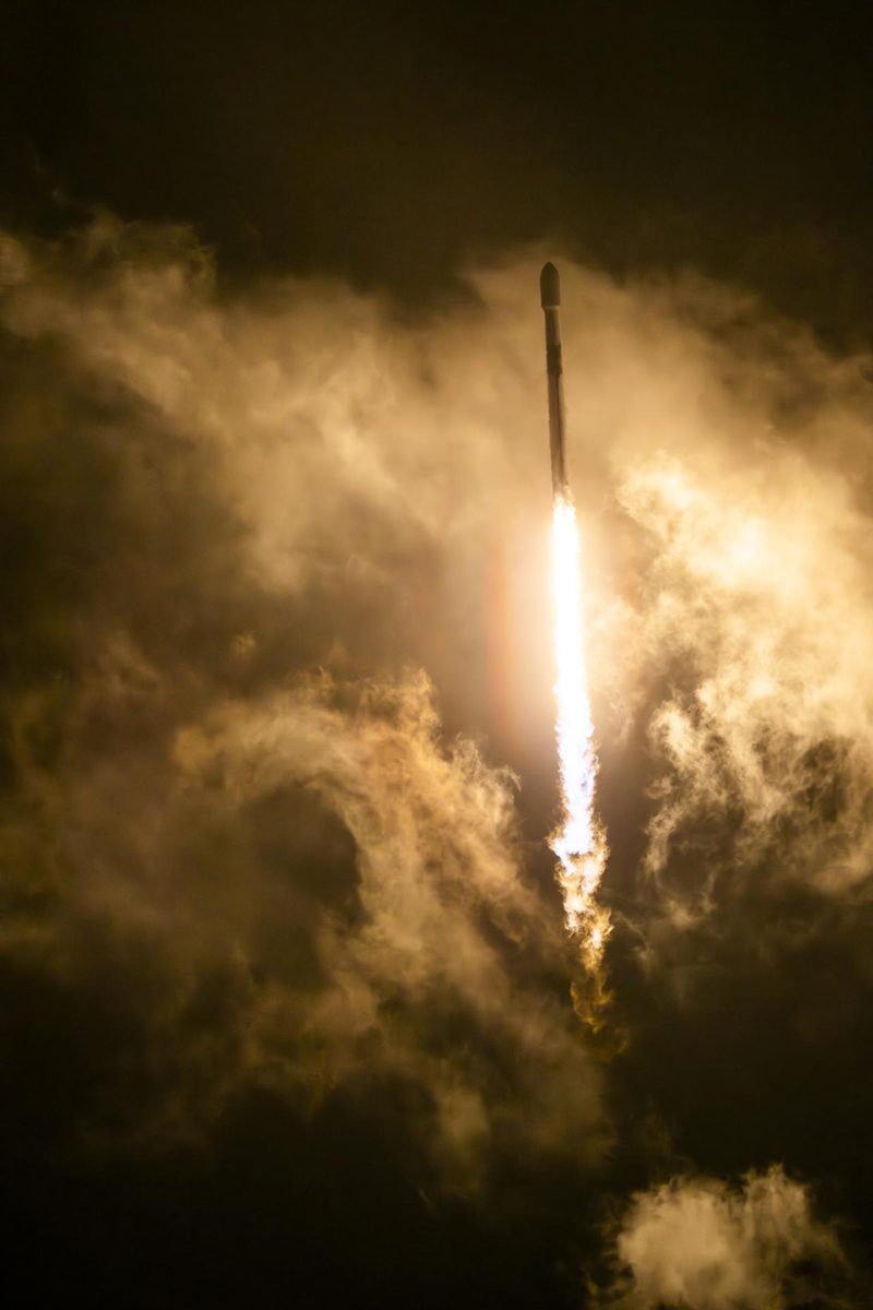
Sentinel-6B, launched November 17, 2025, continues the precise record of global sea level that began in the early 1990s.
Image: NASA.
ESA and the European Commission's Copernicus programme with EUMETSAT, NASA and NOAA.
Source: ESA, Copernicus Sentinel-6
A radar altimetry satellite that measures the height of the sea surface.
Source: ESA, Copernicus Sentinel-6
Launched November 17, 2025 from Vandenberg, California; first images released December 2025.
Source: ESA, Copernicus Sentinel-6
An unbroken sea-level record helps coastal cities plan for rising water.
Source: ESA, Copernicus Sentinel-6
Agency solution · active
Sea level rise is one of the clearest measures of a warming planet. Sentinel-6B launched on November 17, 2025 to continue the reference record of global sea level from space that began in the early 1990s, measuring sea-surface height with a Poseidon-4 radar altimeter and a microwave radiometer. Together with Sentinel-6 Michael Freilich, the mission is planned to run until at least 2030.
Source: ESA, Copernicus Sentinel-6
Want to go deeper? ESA, Copernicus Sentinel-6 has the full story and the latest updates.
For Further InformationNASA doesn't take donations, but anyone can join one of its citizen science projects.