Want to go deeper? ESA's Sentinel-2 facts and figures page has the full mission details.
 For Further Information
Sentinel-2C joined the Copernicus fleet in September 2024, imaging land and coasts in 13 bands so forests and crops are checked every five days.
Image: NASA.
ESA, for the EU’s Copernicus programme, funded by ESA Member States and the European Union.
A satellite with a multispectral imager covering 13 spectral bands, with a 290 km swath and detail down to 10 m.
Launched September 5, 2024 on the final Vega rocket from French Guiana.
Source: ESA, Sentinel-2C joins the Copernicus family in orbit
A polar, Sun-synchronous orbit 786 km up, covering land and coasts between 84°N and 84°S.
To monitor agriculture, forests, land-use change, coastal and inland waters, and disasters.
Agency solution · active
Sentinel-2 revisits the same spot every five days at the equator with its two-satellite constellation. Its data support crop health monitoring and yield prediction, water quality monitoring, and disaster management for wildfires, volcanic eruptions and floods.
Source: ESA, Sentinel-2 facts and figures
Source: ESA, Sentinel-2C joins the Copernicus family in orbit
Farmers use Sentinel-2 data to monitor crop health, predict yields and practice precision farming, and responders use it to map floods, wildfires and eruptions.
Source: ESA, Sentinel-2C joins the Copernicus family in orbit
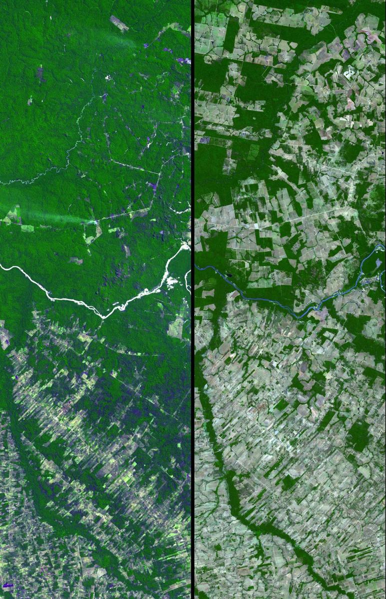
Every five days Sentinel-2 watches forests, land-cover change and coastal and inland waters, giving early warning when ecosystems change. See also Forests.
Want to go deeper? ESA's Sentinel-2 facts and figures page has the full mission details.
For Further Information