CIMR Copernicus Imaging Microwave Radiometer (ESA)
Two Copernicus satellites will measure sea ice, sea-surface temperature and salinity over 95% of the globe every day, with sub-daily polar views (ESA).
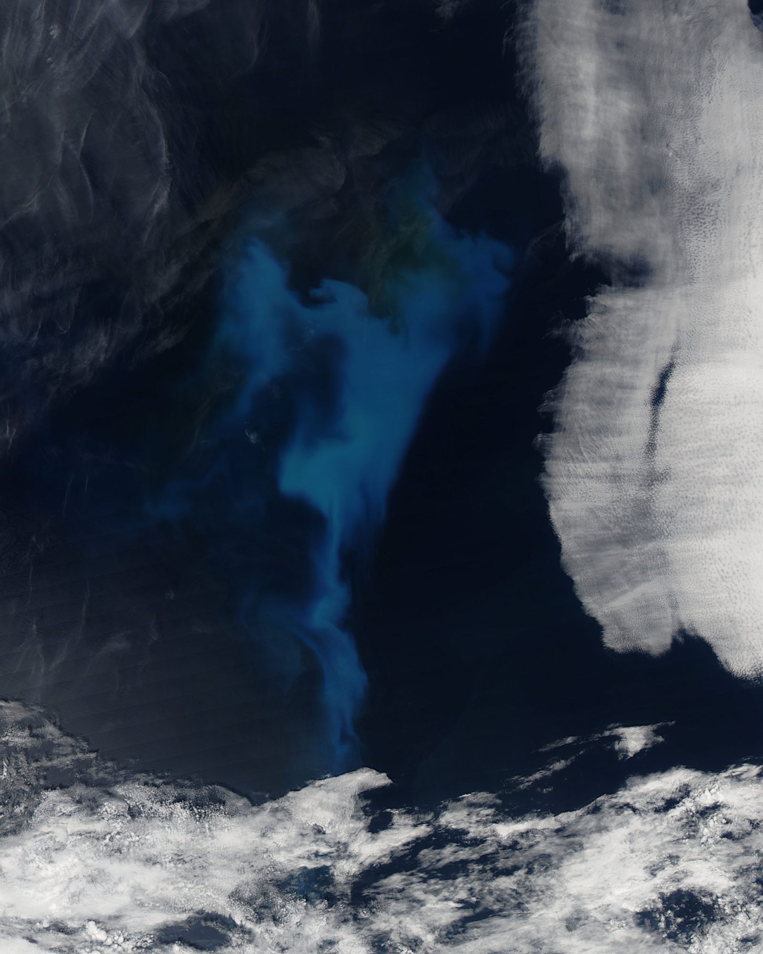
Image: NASA/GSFC/Jeff Schmaltz/MODIS Land Rapid Response Team.
Last reviewed: 3 sources cited
Explain Like I'm 10
- CIMR will be two satellites that measure the ocean and polar sea ice.
- They use a huge round antenna to sense tiny amounts of natural microwave energy.
- They will cover almost the whole Earth every day, even through clouds.
The Five W's of CIMR
Who
The European Space Agency (ESA), for Europe's Copernicus programme. Thales Alenia Space Italy is prime contractor for the satellite.
Source: ESA, CIMR facts and figures
What
Two satellites, each with a wide-swath, conically scanning microwave radiometer and an 8.5 m reflector.
Source: ESA, CIMR facts and figures
When
CIMR-A is planned to launch in 2029 and CIMR-B in 2035, giving at least 15 years of continuous measurements.
Source: ESA, CIMR facts and figures
Where
A dawn-dusk sun-synchronous The curved path an object takes as it travels around a planet, moon or star, like a satellite circling Earth. Glossary at 817 km. Science data are downlinked to Svalbard, Norway.
Source: ESA, CIMR facts and figures
Why
CIMR places the Arctic in a global context, to support solutions for this fragile region and combat climate change worldwide.
Source: ESA, CIMR
Connected Solutions
- CryoSat Ice Mission (ESA) Measures the thickness of polar sea ice with radar.
- CRISTAL Polar Ice and Snow Altimeter (ESA) Will measure sea-ice thickness and the snow on top.
Impact Statement
Agency solution · in development
CIMR will measure 95% of the globe every day, with sub-daily coverage of the polar regions (ESA).
Source: ESA, CIMR facts and figures
For Further Information: ESA, CIMR facts and figures
CIMR's 8.5 m reflector sits on an 8 m boom that spins at 7.8 turns per minute (ESA).
How This Saves People & the Planet
For People
Daily sea-ice and ocean data support safer work and travel in polar seas and better climate information for everyone (ESA).
Source: ESA, CIMR
For Nature
CIMR will track sea ice, sea-surface temperature and How salty water is. Saltier water is heavier, so differences in salinity help drive ocean currents. Glossary in the fragile Arctic, a region hit hard by climate change (ESA).
Source: ESA, CIMR
Learn More About CIMR
Want to go deeper? ESA has the full CIMR story.
 For Further Information
Related Solutions
More solutions like this one, matched by meaning.
Help This Work
Links go straight to the organization. Saving Planets doesn't receive any of the money.