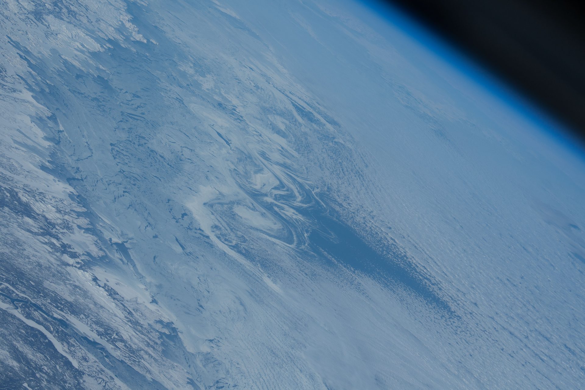
Active Earth Observation
CryoSat Ice Mission (ESA)
CryoSat measures polar sea ice and the great ice sheets from space, and its data revealed 85 hidden lakes under Antarctica (ESA).
A decade of CryoSat data revealed 85 unknown lakes under Antarctica, raising the known active subglacial lakes by more than half, to 231 (ESA).
Source: ESA, 85 new subglacial lakes detected below Antarctica
CIMR will measure 95% of the globe every day, with sub-daily coverage of the polar regions (ESA).
Source: ESA, CIMR facts and figures
Heat absorbed in the tropics flows to the poles and escapes to space there. PREFIRE measures that far-infrared heat (NASA JPL).
The European Space Agency (ESA), NASA and the Canadian Space Agency, with their partners.
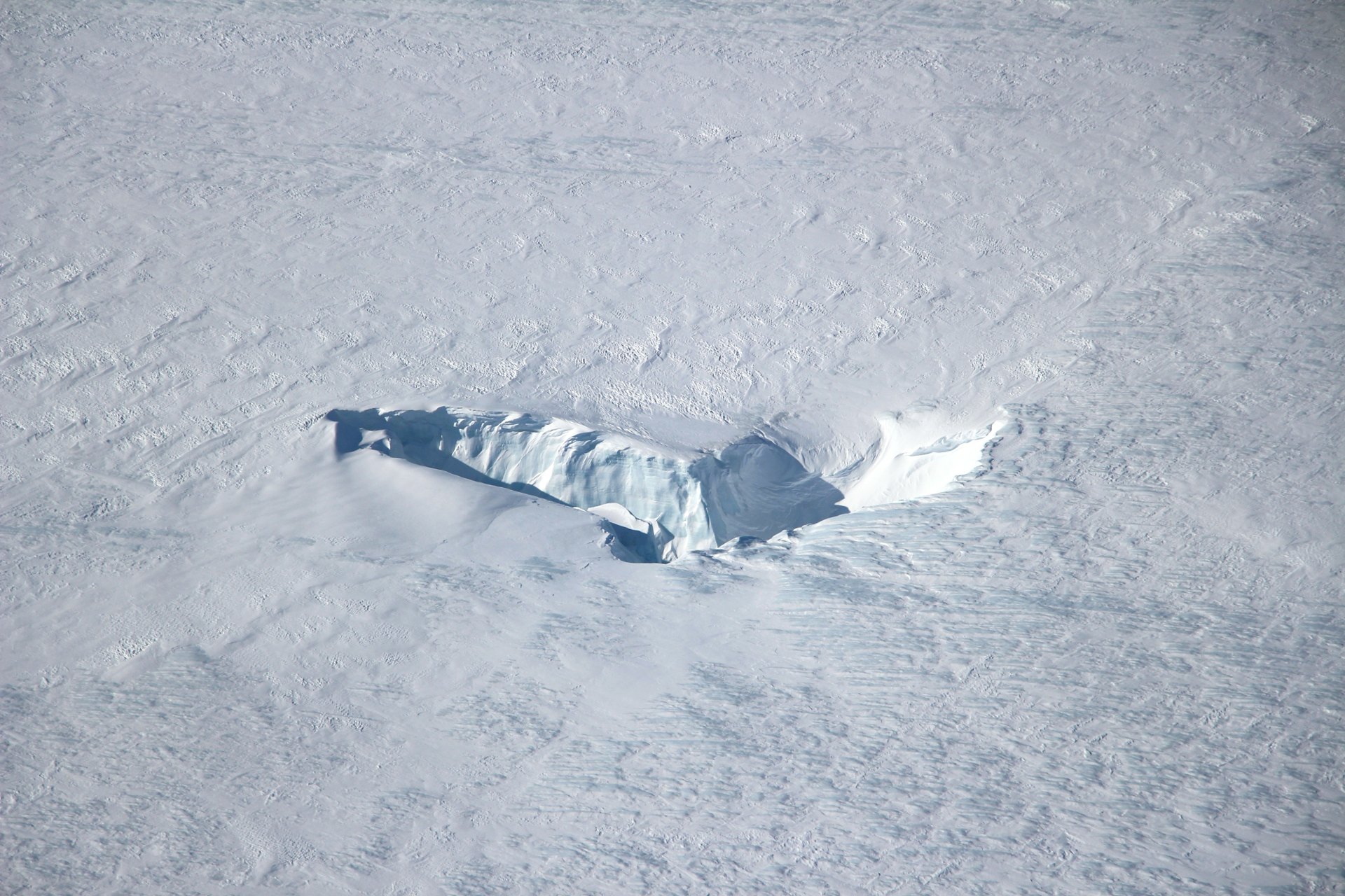
Satellites that measure polar ice from space: sea-ice thickness, the height of ice sheets and glaciers, lakes hidden under the ice, and the heat the poles send to space.
Now and next: ICESat-2 has measured ice since its launch on September 15, 2018 (NASA), and CRISTAL will continue CryoSat's ice record (ESA).
Source: NASA, ICESat-2
Source: ESA, CRISTAL prepares to sparkle
The polar regions, including Antarctica, the Arctic Ocean, Greenland and Iceland, seen from satellites in polar orbits.
Lakes under the ice affect how fast glaciers move and so influence global sea level rise (ESA). Daily sea-ice data also support safer work and travel in polar seas (ESA).
Source: ESA, 85 new subglacial lakes detected below Antarctica
Source: ESA, CIMR facts and figures
Active Earth Observation
CryoSat measures polar sea ice and the great ice sheets from space, and its data revealed 85 hidden lakes under Antarctica (ESA).
Active Earth Observation
CRISTAL will carry the first dual-frequency radar altimeter to measure polar sea-ice thickness and the snow on top, following ESA's CryoSat (ESA).
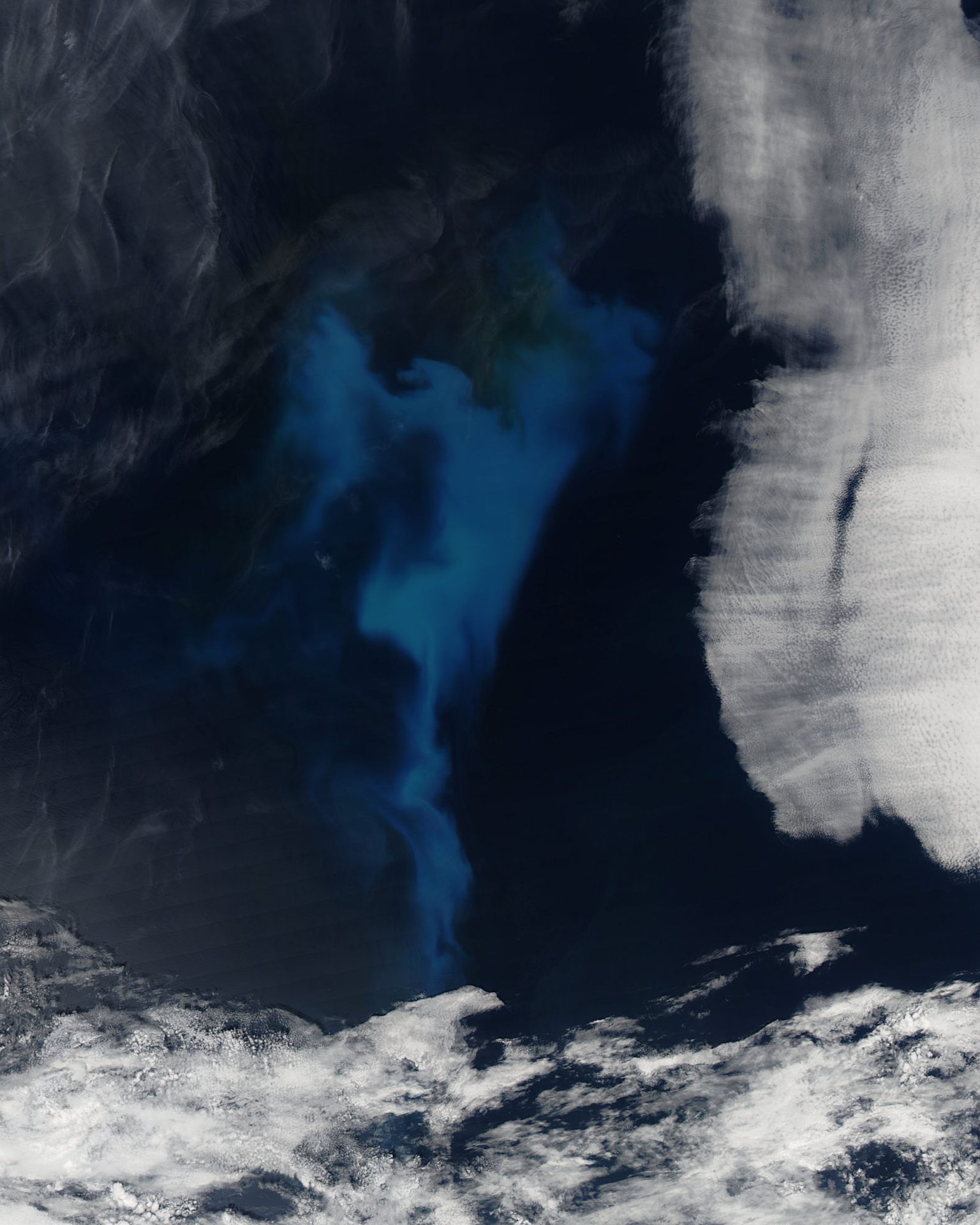
Active Earth Observation
Two Copernicus satellites will measure sea ice, sea-surface temperature and salinity over 95% of the globe every day, with sub-daily polar views (ESA).
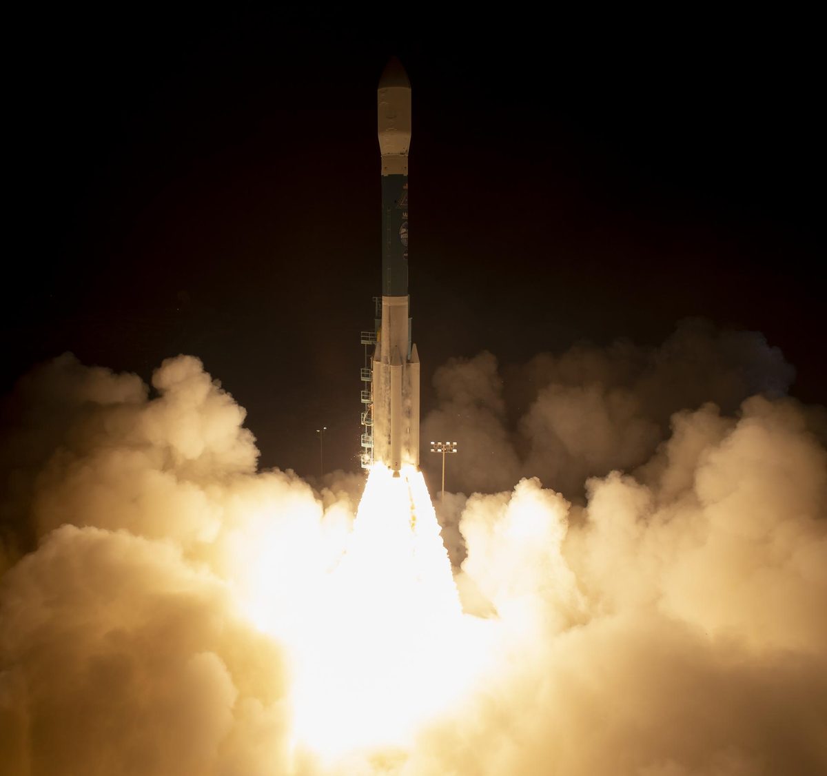
Active Earth Observation
NASA's ICESat-2 laser fires 10,000 pulses a second to measure ice sheets, sea ice, forests and coastal seafloor in 3D.
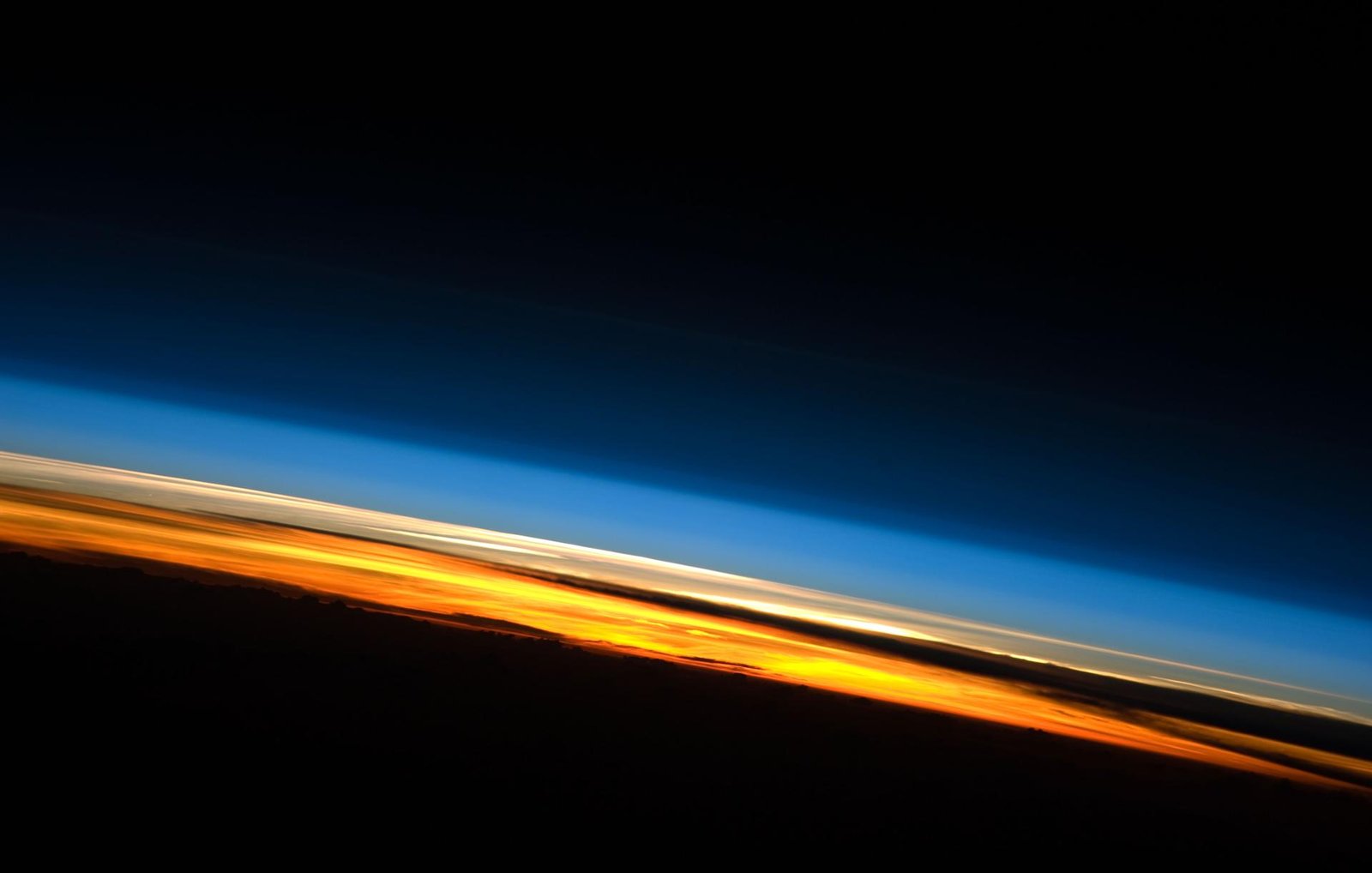
Active Earth Observation
Two tiny CubeSats measuring how much heat the Arctic and Antarctica release to space; extended through at least September 2026 (NASA JPL).
Active Earth Observation
Three radar satellites that see through cloud, watching sea ice, ships and floods; free public images (Canadian Space Agency).
Want to go deeper? ESA tracks the polar ice from space.
 For further information