CryoSat Ice Mission (ESA)
CryoSat measures polar sea ice and the great ice sheets from space, and its data revealed 85 hidden lakes under Antarctica (ESA).
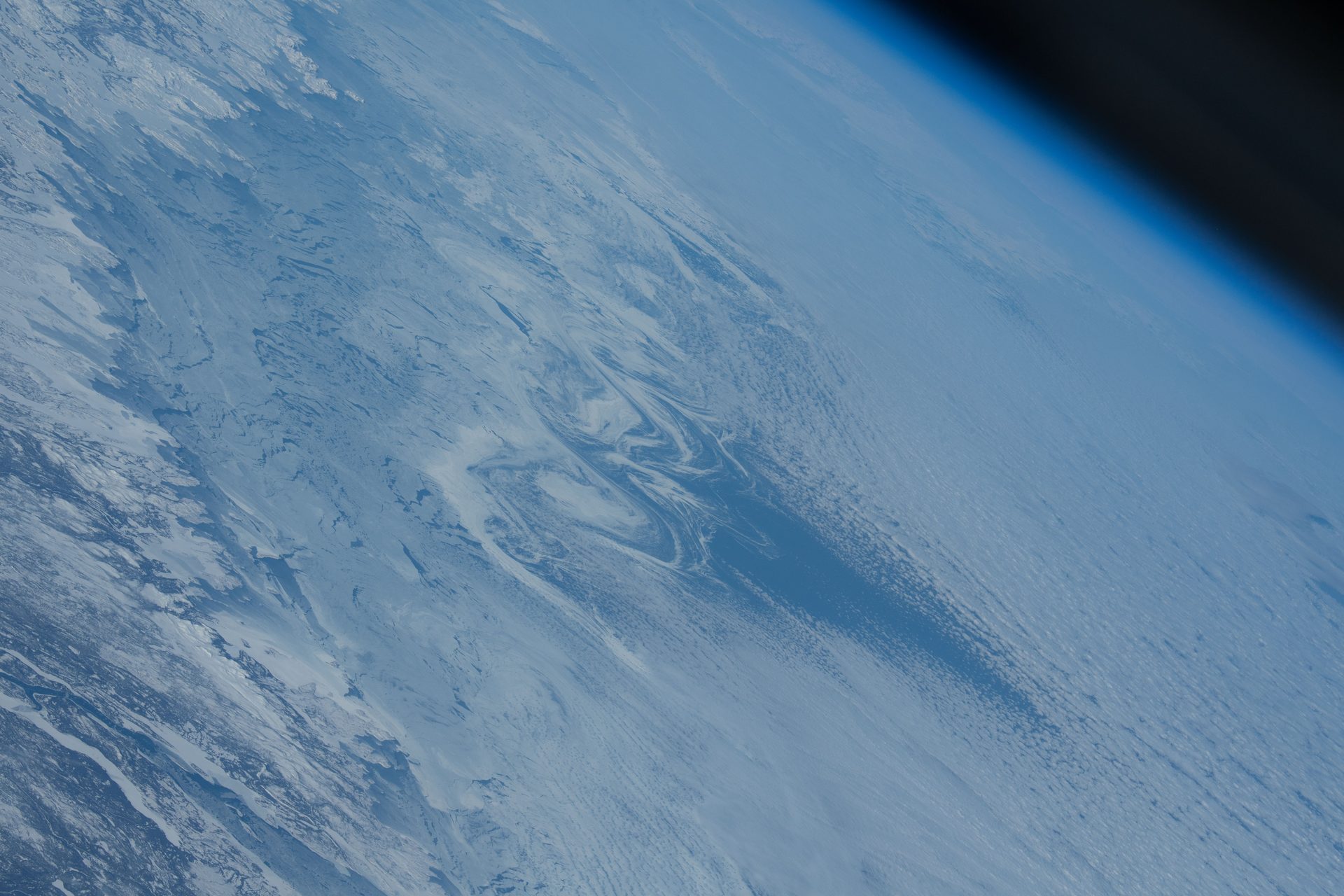
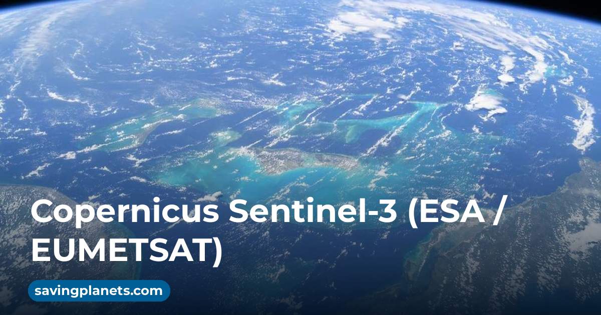
Image: NASA (ISS070-E-086805, Feb. 3, 2024).
Last reviewed: 4 sources cited
Explain Like I'm 10
- CryoSat is a satellite that measures how thick the ice is near the North and South Poles.
- It uses A tool that sends out radio waves and listens for the echoes. From space it can see the ground through clouds, day or night. Glossary to spot tiny changes in the height of the ice.
- Knowing how ice changes helps scientists understand sea level rise.
The Five W's of CryoSat
Who
The European Space Agency (ESA). CryoSat is an Earth Explorer mission, flown from ESA's operations centre in Darmstadt, Germany.
Source: ESA, CryoSat facts and figures
What
A satellite carrying a radar Measuring the height of the sea or land from space by timing how long a radar or laser pulse takes to bounce back. Glossary built for ice. It measures the thickness of polar sea ice and changes in the ice sheets of Greenland and Antarctica.
Source: ESA, CryoSat
When
CryoSat launched on 8 April 2010 and has been in The curved path an object takes as it travels around a planet, moon or star, like a satellite circling Earth. Glossary for more than 10 years, far beyond its minimum 3-year mission.
Source: ESA, CryoSat facts and figures
Where
In a polar orbit at a mean altitude of 719 km, which lets it see almost the whole of the Arctic and Antarctic.
Source: ESA, CryoSat facts and figures
Why
Lakes under the ice affect how fast glaciers move and so influence global sea level rise.
Source: ESA, 85 new subglacial lakes detected below Antarctica
Impact Statement
Agency solution · active
A decade of CryoSat data revealed 85 unknown lakes under Antarctica, raising the known active subglacial lakes by more than half, to 231 (ESA).
Source: ESA, 85 new subglacial lakes detected below Antarctica
For Further Information: ESA, 85 new subglacial lakes detected below Antarctica
CryoSat carries the first radar altimeter of its kind, designed to measure ice (ESA).
How This Saves People & the Planet
For People
CryoSat data help improve projections of future sea level rise, which matters for coastal communities (ESA).
Source: ESA, 85 new subglacial lakes detected below Antarctica
For Nature
CryoSat tracks the polar sea ice and ice sheets that shape the oceans around them (ESA).
Source: ESA, 85 new subglacial lakes detected below Antarctica
Get Involved With CryoSat
Want to go deeper? ESA has the full CryoSat story.
 For Further Information
Related Solutions
More solutions like this one, matched by meaning.
Help This Work
Links go straight to the organization. Saving Planets doesn't receive any of the money.