HydroGNSS (ESA)
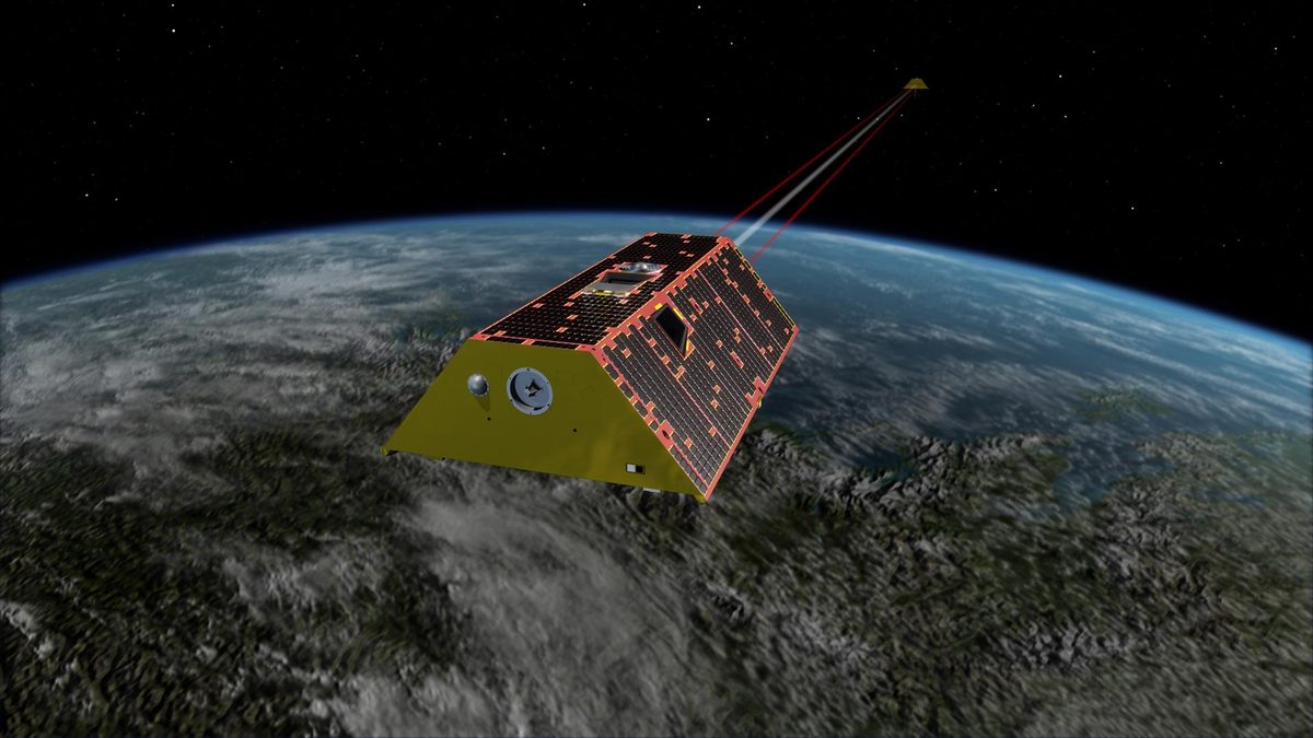
ESA's first Scout mission uses reflected navigation-satellite signals to measure soil moisture, wetlands and frozen ground (ESA).
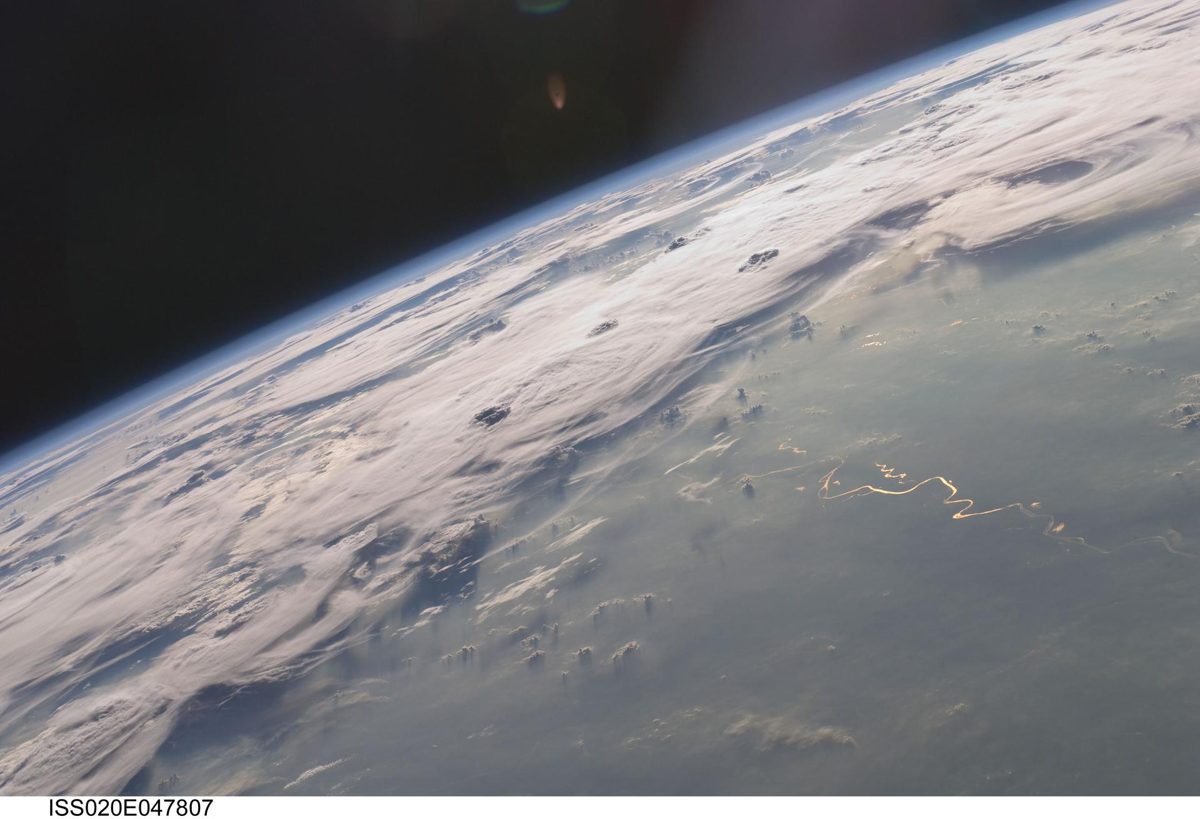
Image: NASA.
Last reviewed: 5 sources cited
Explain Like I'm 10
- Navigation satellites send signals that bounce off the ground.
- HydroGNSS catches those echoes to tell how wet the soil is.
- That helps farmers, flood planners and scientists watch Earth's water.
The Five W's of HydroGNSS
Who
The European Space Agency. HydroGNSS is ESA's first Scout mission, a new line of small, fast missions.
Source: ESA, HydroGNSS
What
Two satellites that use GNSS reflectometry to measure soil moisture, freeze–thaw state over permafrost, flooding and wetlands, and The total amount of living material, like the wood and leaves in a forest. Measuring it shows how much carbon plants store. Glossary.
Source: ESA, HydroGNSS
When
Both satellites launched together on November 28, 2025. Their data became freely available worldwide on July 31, 2026.
Where
In a near-polar The curved path an object takes as it travels around a planet, moon or star, like a satellite circling Earth. Glossary, 180 degrees apart. Together they cover more than 80% of Earth's land in 15 days.
Source: ESA, HydroGNSS facts and figures
Why
To understand water availability and how climate change affects Earth's water cycle.
Impact Statement
Agency solution · active
After commissioning, HydroGNSS entered full science operations and opened its data to users worldwide (ESA).
Source: ESA, HydroGNSS data open (Jul 31, 2026)
For Further Information: ESA, HydroGNSS
Each HydroGNSS satellite weighs about 75 kilograms and measures 45 by 45 by 70 centimeters.
How This Saves People & the Planet
For People
Soil moisture and flood data help people understand how much water is available for farms and communities (ESA).
Source: ESA, HydroGNSS data open (Jul 31, 2026)
For Nature
HydroGNSS tracks wetlands and the freezing and thawing of permafrost, both key parts of healthy A community of living things and the place they live, like a reef or a forest, all depending on each other. Glossary.
Source: ESA, HydroGNSS
Get Involved With HydroGNSS
Want to go deeper? ESA has the full HydroGNSS story.
 For Further Information
Related Solutions
More solutions like this one, matched by meaning.
Help This Work
This is a public mission, so there is nothing to donate. You can explore its free data or join a citizen science project.