RADARSAT Constellation Mission (Canada)
Three Canadian radar satellites watch Canada's land, coasts and Arctic day and night, through cloud and smoke; about 250,000 images a year for the Government of Canada (Canadian Space Agency).
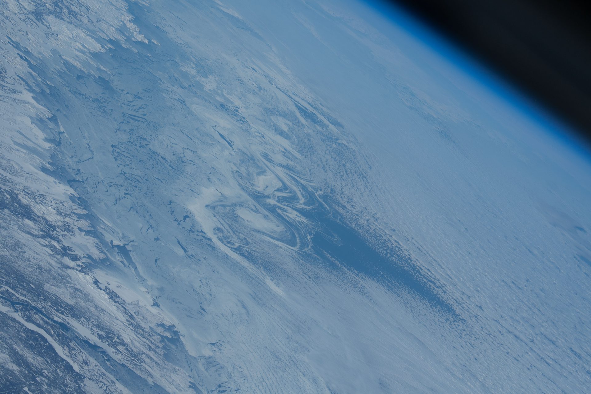
Image: NASA (ISS070-E-086805, Feb. 3, 2024).
Last reviewed: 4 sources cited
Explain Like I'm 10
- RCM is three satellites that use A tool that sends out radio waves and listens for the echoes. From space it can see the ground through clouds, day or night. Glossary, like a bat uses sound.
- Radar works in the dark and sees through clouds and smoke.
- It helps ships find safe paths through ice and helps after floods.
The Five W's of RCM
Who
The Canadian Space Agency plans and operates RCM. Natural Resources Canada runs the ground stations and the data archive.
Source: Canadian Space Agency, RADARSAT Constellation Mission FAQ
What
Three identical C-band A radar on a moving satellite that combines many echoes into one sharp picture, as if it had a giant antenna. Glossary satellites. Each carries a ship-tracking (AIS) receiver.
Source: Canadian Space Agency, RADARSAT Constellation Mission FAQ
When
Launched on a Falcon 9 from California on June 12, 2019, and declared operational on November 14, 2019.
Source: Canadian Space Agency, RADARSAT Constellation Mission FAQ
Where
Daily coverage of Canada's land and waters, the Arctic up to four times a day, and daily access to 90% of the world's surface.
Source: Canadian Space Agency, RADARSAT Constellation Mission FAQ
Why
Radar sees through clouds, haze and smoke, so it can map sea ice, floods and burn scars in any weather.
Source: Canadian Space Agency, RADARSAT Constellation Mission FAQ
Impact Statement
Agency solution · active
The Government of Canada expects to use about 250,000 RCM images a year, 50 times more than the first RADARSAT (Canadian Space Agency).
Source: Canadian Space Agency, RADARSAT Constellation Mission FAQ
For Further Information: Canadian Space Agency, RADARSAT Constellation Mission FAQ
In ship detection mode, RCM can detect ships 25 m long across all waters within 2,000 km of Canada's coasts, every day (Canadian Space Agency).
How This Saves People & the Planet
For People
Precise sea ice maps help ships navigate safely, and radar data help northern communities plan buildings and runways on shifting permafrost (Canadian Space Agency).
Source: Canadian Space Agency, RADARSAT Constellation Mission FAQ
For Nature
RCM data help monitor A community of living things and the place they live, like a reef or a forest, all depending on each other. Glossary and climate change, and help farmers avoid wasting fertilizer, pesticides and water (Canadian Space Agency).
Source: Canadian Space Agency, RADARSAT Constellation Mission FAQ
Get Involved With RCM
Want to go deeper? The Canadian Space Agency has the full RCM story.
For Further InformationRelated Solutions
More solutions like this one, matched by meaning.
Help This Work
This is a public mission, so there is nothing to donate. You can explore its free data or join a citizen science project.