Phoenix Islands Protected Area (Kiribati)
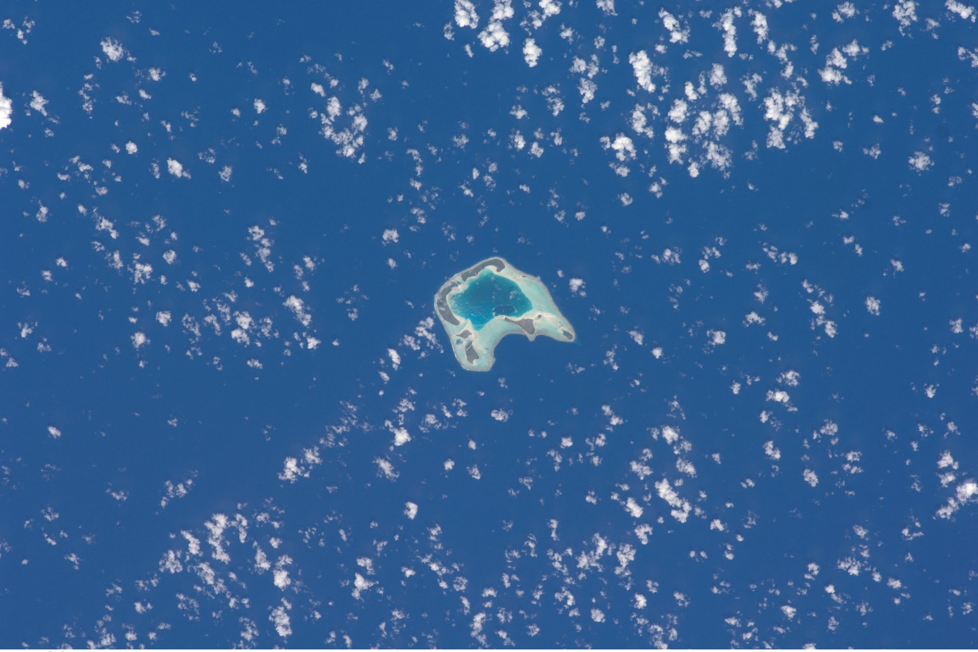
Kiribati’s Phoenix Islands Protected Area covers 408,250 km² of ocean, the largest marine protected area in the Pacific and a World Heritage site since 2010.
✨ New solutionAdded
Image: Ron Van Oers / UNESCO, via Wikimedia Commons (CC BY-SA 3.0 IGO).
Last reviewed: 1 sources cited
Explain Like I'm 10
- The Phoenix Islands are a group of small islands in the middle of the Pacific Ocean.
- The country of Kiribati protects a huge area of ocean around them: 408,250 square kilometers.
- About 800 kinds of animals live there, including 500 kinds of fish.
The Five W's of Phoenix Islands Protected Area
Who
The Phoenix Islands Protected Area belongs to the Republic of Kiribati. It is the first site in Kiribati to be inscribed on the World Heritage List.
Source: UNESCO World Heritage Centre, Phoenix Islands Protected Area
What
A 408,250 km² expanse of marine and land habitats protecting one of the world’s largest intact oceanic coral archipelago A community of living things and the place they live, like a reef or a forest, all depending on each other. Glossary.
Source: UNESCO World Heritage Centre, Phoenix Islands Protected Area
When
UNESCO inscribed it as a World Heritage site in 2010.
Source: UNESCO World Heritage Centre, Phoenix Islands Protected Area
Where
The Phoenix Island Group, one of Kiribati’s three island groups, in the central Pacific. It includes at least 14 seamounts rising from a seafloor that averages more than 4,500 meters deep.
Source: UNESCO World Heritage Centre, Phoenix Islands Protected Area
Why
UNESCO calls it the largest marine protected area in the Pacific and a largely pristine mid-ocean wilderness of global importance.
Source: UNESCO World Heritage Centre, Phoenix Islands Protected Area
Impact Statement
Government solution · active · New solution
About 800 known animal species live in the protected area, including about 200 coral species, 500 fish species, 18 marine mammals and 44 bird species.
Source: UNESCO World Heritage Centre, Phoenix Islands Protected Area
At least 14 seamounts, presumed extinct volcanoes, rise from a seafloor averaging more than 4,500 meters deep, with a maximum depth of over 6,000 meters.
How This Improves Our Planet’s Health
A reservoir for Pacific life
UNESCO says the structure and functioning of these ecosystems show their pristine nature and their importance as a migration route and reservoir for marine life.
Source: UNESCO World Heritage Centre, Phoenix Islands Protected Area
A natural laboratory for a changing ocean
UNESCO calls the area of crucial scientific importance for identifying and monitoring sea level change and the growth rates and age of reefs. A nearly untouched reef is a baseline that helps scientists see what is changing elsewhere.
Source: UNESCO World Heritage Centre, Phoenix Islands Protected Area
For people
UNESCO describes a vast wilderness where nature prevails and people are only occasional visitors, with outstanding underwater clarity and large groups of marine animals.
Source: UNESCO World Heritage Centre, Phoenix Islands Protected Area
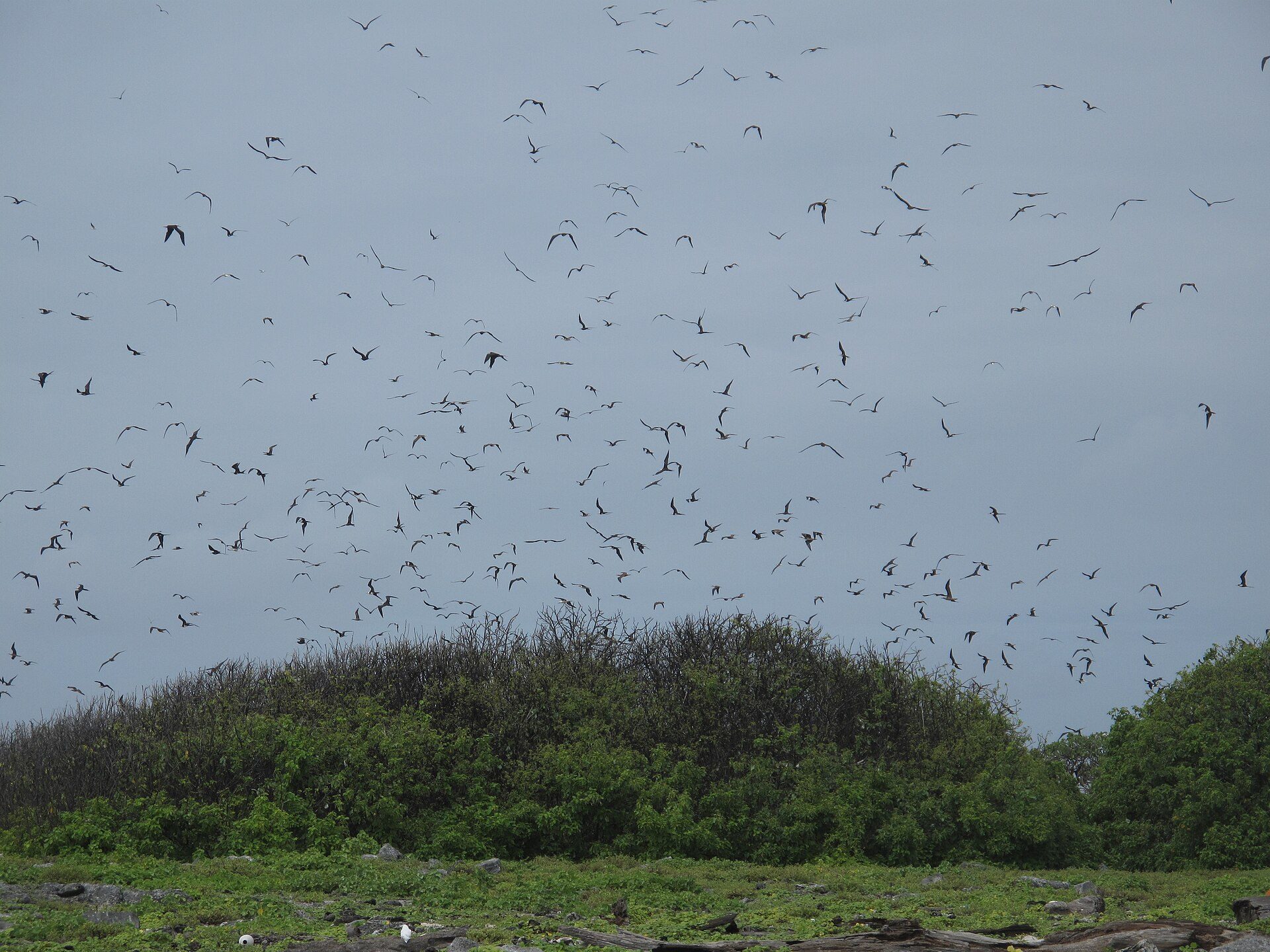
Image: Ron Van Oers / UNESCO, via Wikimedia Commons (CC BY-SA 3.0 IGO).
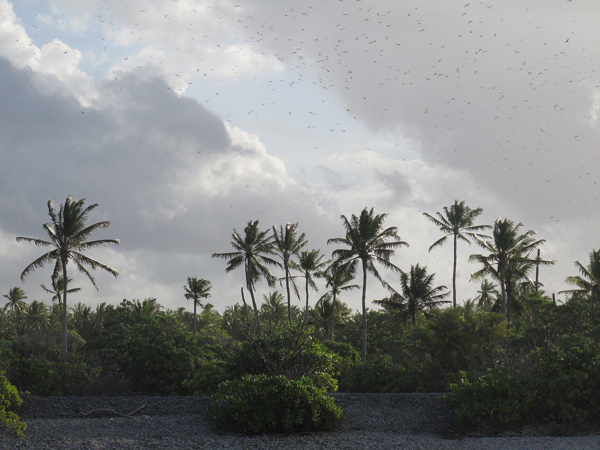
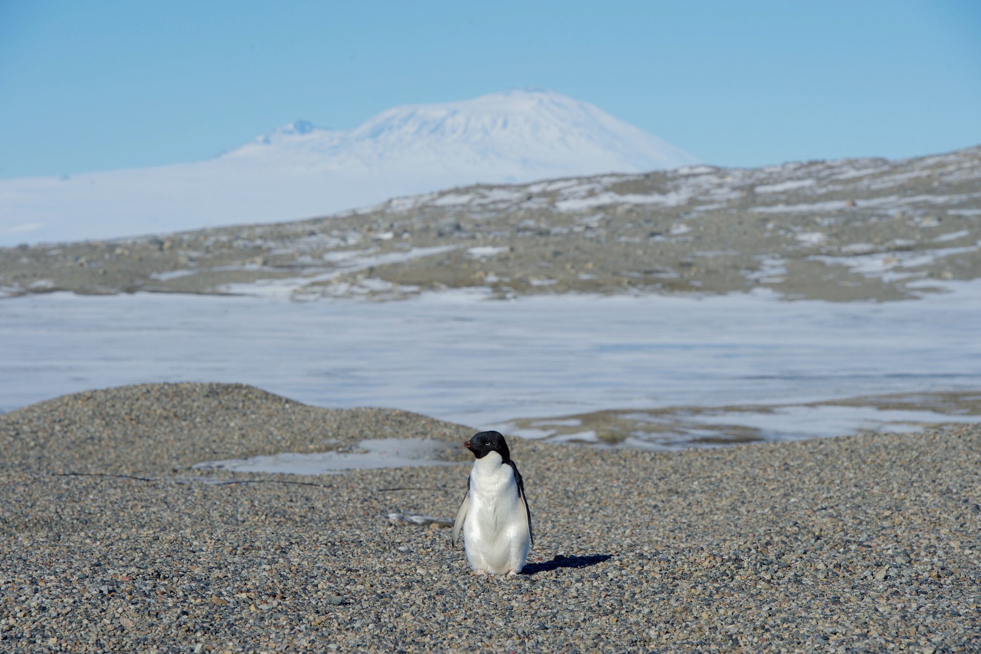
Image: Ron Van Oers / UNESCO, via Wikimedia Commons (CC BY-SA 3.0 IGO).
Learn About Phoenix Islands Protected Area
Want to go deeper? The official page has the full details behind the numbers here.
For Further InformationRelated Solutions
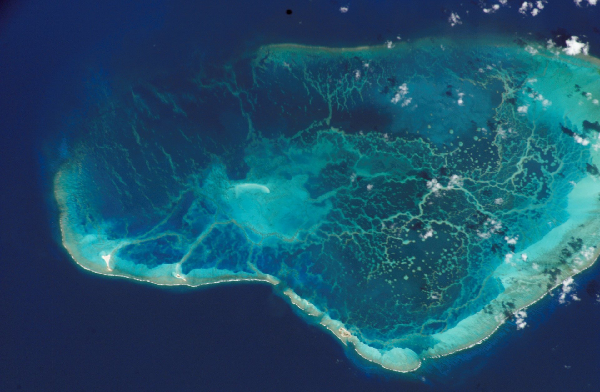
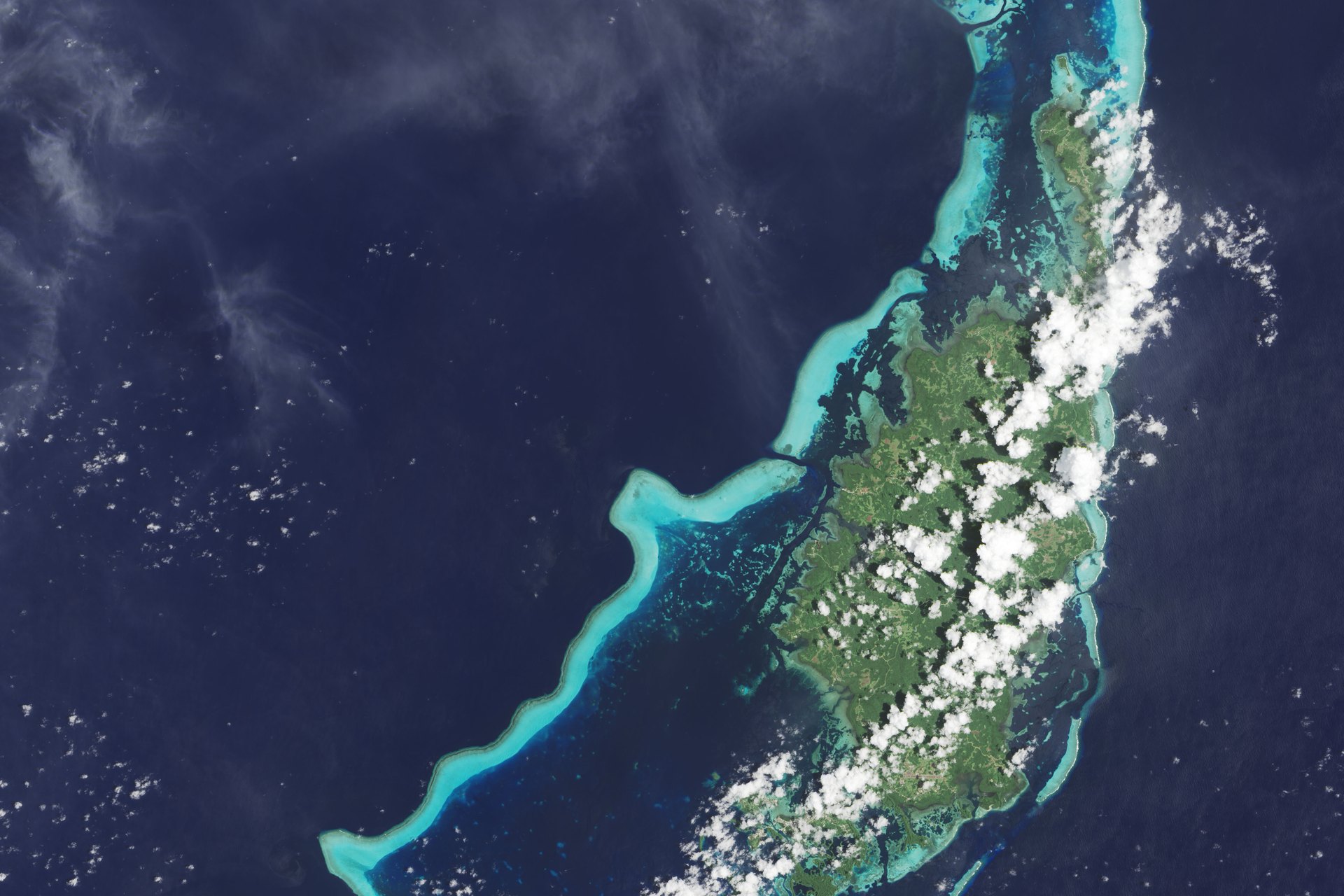
More solutions like this one, matched by meaning.
Help This Work
The Phoenix Islands Protected Area is managed by the government of Kiribati, so there is no Donate button. Saving Planets is showcasing it, not partnering with it.