Want to go deeper? ESA, Copernicus Sentinel-6 has the full story and the latest updates.
 For Further Information
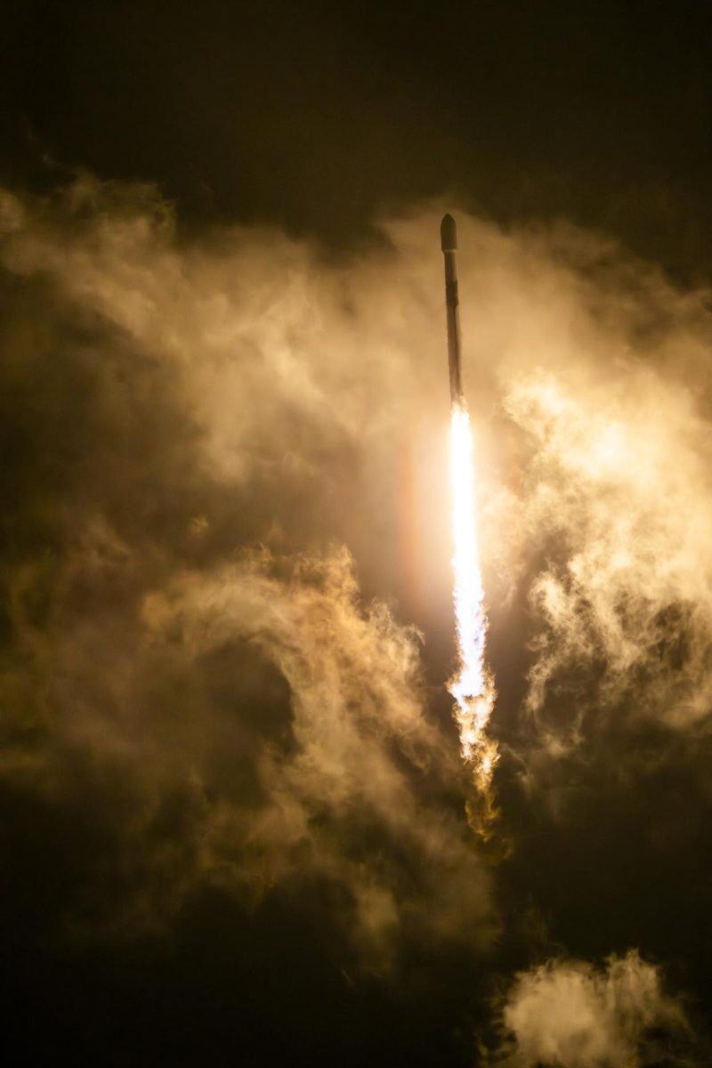
Sentinel-6B, launched November 17, 2025, continues the precise record of global sea level that began in the early 1990s.
Image: NASA.
Last reviewed: 1 source cited
ESA and the European Commission's Copernicus programme with EUMETSAT, NASA and NOAA.
Source: ESA, Copernicus Sentinel-6
A radar altimetry satellite that measures the height of the sea surface.
Source: ESA, Copernicus Sentinel-6
Launched November 17, 2025 from Vandenberg, California; first images released December 2025.
Source: ESA, Copernicus Sentinel-6
Low Earth The curved path an object takes as it travels around a planet, moon or star, like a satellite circling Earth. Glossary, measuring about 95% of the ocean.
Source: ESA, Copernicus Sentinel-6
An unbroken sea-level record helps coastal cities plan for rising water.
Source: ESA, Copernicus Sentinel-6
Agency solution · active
Sea level rise is one of the clearest measures of a warming planet. Sentinel-6B launched on November 17, 2025 to continue the reference record of global sea level from space that began in the early 1990s, measuring sea-surface height with a Poseidon-4 radar altimeter and a microwave radiometer. Together with Sentinel-6 Michael Freilich, the mission is planned to run until at least 2030.
Source: ESA, Copernicus Sentinel-6
Want to go deeper? ESA, Copernicus Sentinel-6 has the full story and the latest updates.
For Further InformationMore solutions like this one, matched by meaning.
NASA doesn't take donations, but anyone can join one of its citizen science projects.
Sources are listed with each fact in the Five W's above.
APA
Saving Planets. (n.d.). Copernicus Sentinel-6B (ESA / NASA). https://www.savingplanets.com/Sentinel-6B.html
MLA
"Copernicus Sentinel-6B (ESA / NASA)." Saving Planets, https://www.savingplanets.com/Sentinel-6B.html.