Want to go deeper? JAXA, ALOS-4 project page has the full story and the latest updates.
 For Further Information
JAXA's DAICHI-4 radar sees through clouds over a 200 km swath, continuing the radar record used for deforestation alerts.
Image: NASA.
Last reviewed: 2 sources cited
A radar satellite with the PALSAR-3 L-band synthetic aperture radar and a ship-tracking receiver.
Source: JAXA, ALOS-4 project page
Low Earth The curved path an object takes as it travels around a planet, moon or star, like a satellite circling Earth. Glossary, imaging land, forests and oceans day and night.
Source: JAXA, ALOS-4 project page
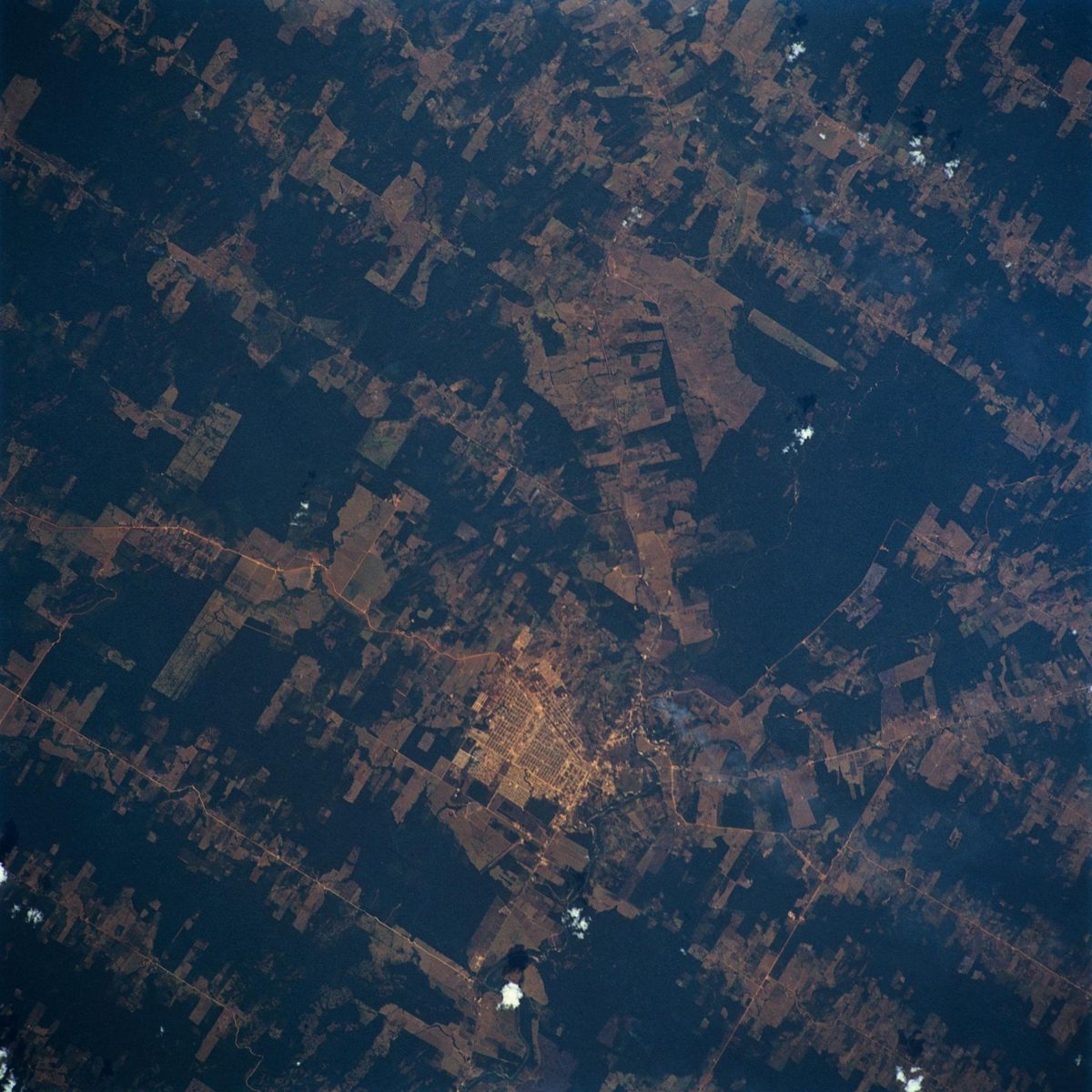
Forests cover 30% of the world's land, and deforestation is strongly linked to rising greenhouse gases.
Source: JAXA, ALOS-4 project page
Agency solution · active
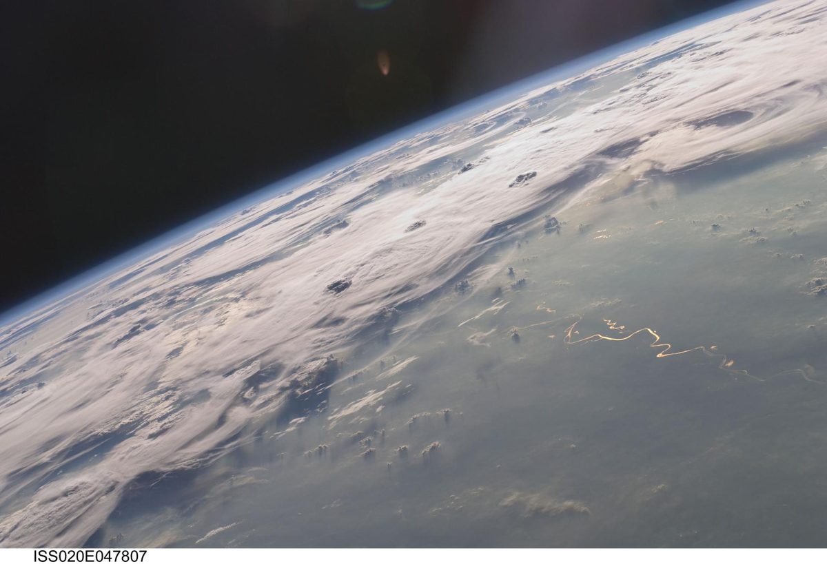
Tropical forests are often under cloud, which hides clearing from ordinary cameras. JAXA's ALOS-4 "DAICHI-4", launched July 1, 2024, carries the L-band PALSAR-3 radar, which sees through clouds and widens the observation swath from 50 km to 200 km at high resolution. Its predecessor's data already powers JAXA's JJ-FAST system, which detects deforestation of a few hectares in 77 countries.
Source: JAXA, ALOS-4 launch result
Source: JAXA, ALOS-4 project page
Want to go deeper? JAXA, ALOS-4 project page has the full story and the latest updates.
For Further InformationMore solutions like this one, matched by meaning.
Sources are listed with each fact in the Five W's above.
APA
Saving Planets. (n.d.). ALOS-4 "DAICHI-4" (JAXA). https://www.savingplanets.com/ALOS-4.html
MLA
"ALOS-4 "DAICHI-4" (JAXA)." Saving Planets, https://www.savingplanets.com/ALOS-4.html.