Want to go deeper? NOAA SWPC, CCOR-1 coronagraph has the full story and the latest updates.
 For Further Information
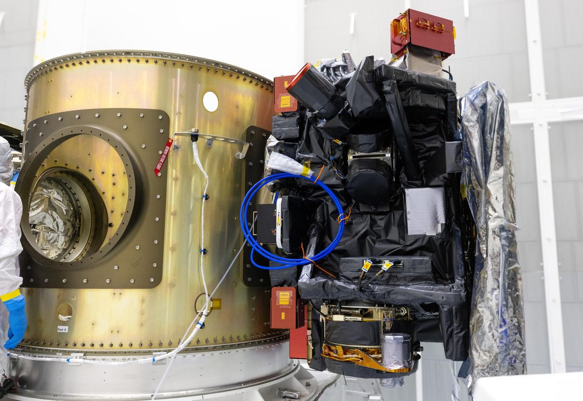
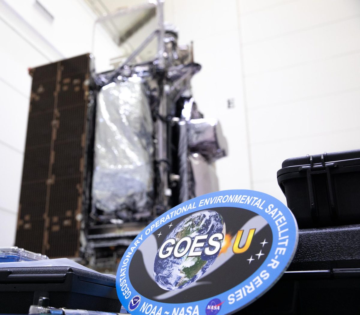
NOAA's GOES-19 carries CCOR-1, the world's first operational space-based coronagraph, imaging the Sun's corona every 15 minutes.
Image: NASA/KSC.
Last reviewed: 3 sources cited
NOAA, which operates the GOES series of weather satellites and its Space Weather Prediction Center uses CCOR-1 imagery.
Source: NOAA NESDIS, first operational space-based coronagraph
A weather satellite whose CCOR-1 coronagraph watches the corona from 3.7 to 17 solar radii, replacing the aging coronagraphs on SOHO.
Source: NOAA SWPC, CCOR-1 coronagraph
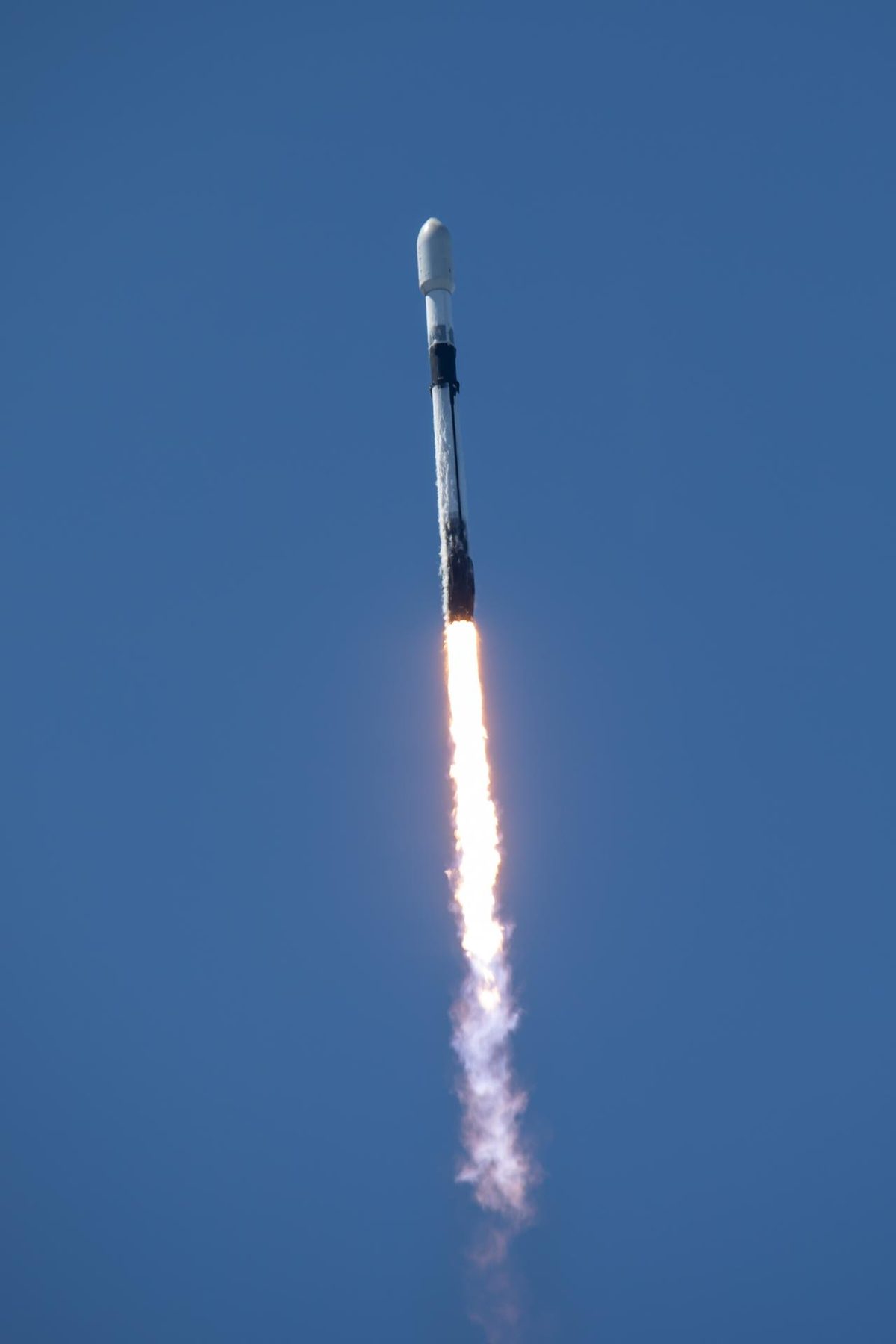
Launched June 25, 2024; CCOR-1 first light September 19, 2024; operational as GOES-East April 7, 2025.
Source: NOAA OSPO, GOES status
Source: NOAA NESDIS, first operational space-based coronagraph
Geostationary The curved path an object takes as it travels around a planet, moon or star, like a satellite circling Earth. Glossary at 75.2° West, making CCOR-1 the first coronagraph to fly in geostationary orbit.
Source: NOAA OSPO, GOES status
Source: NOAA SWPC, CCOR-1 coronagraph
Coronal mass ejections can disrupt satellites, GPS and power grids; seeing them early gives forecasters time to warn operators.
Source: NOAA NESDIS, first operational space-based coronagraph
Agency solution · active
NOAA's GOES-19 became the operational GOES-East satellite on April 7, 2025. On board is CCOR-1, the world's first operational, space-based coronagraph dedicated to space weather: it blocks the Sun's bright disk and images its faint outer corona every 15 minutes to spot coronal mass ejections heading our way.
Source: NOAA OSPO, GOES status
Source: NOAA SWPC, CCOR-1 coronagraph
For Further Information: NOAA SWPC, CCOR-1 coronagraph
GOES-19's CCOR-1 is the world's first operational space-based coronagraph, imaging the Sun's faint corona every 15 minutes.
Want to go deeper? NOAA SWPC, CCOR-1 coronagraph has the full story and the latest updates.
For Further InformationMore solutions like this one, matched by meaning.
Sources are listed with each fact in the Five W's above.
APA
Saving Planets. (n.d.). GOES-19 and CCOR-1 (NOAA). https://www.savingplanets.com/GOES-19.html
MLA
"GOES-19 and CCOR-1 (NOAA)." Saving Planets, https://www.savingplanets.com/GOES-19.html.